ملف:River Alwin near Clennell - geograph.org.uk - 465966.jpg
لا توجد دقة أعلى متوفرة.
River_Alwin_near_Clennell_-_geograph.org.uk_-_465966.jpg (640 × 427 بكسل حجم الملف: 91 كيلوبايت، نوع MIME: image/jpeg)
وصف قصير
| ⧼wm-license-information-description⧽ |
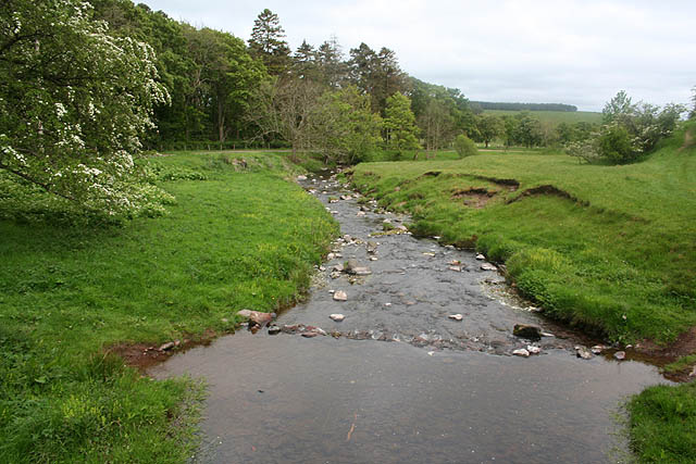
English: River Alwin near Clennell View downstream towards Alwinton from the footbridge between Clennell Hall and Clennel Street, an ancient Cheviot trackway.
|
| ⧼wm-license-information-date⧽ | 2007 |
| ⧼wm-license-information-source⧽ | From geograph.org.uk |
| ⧼wm-license-information-author⧽ | Dave Dunford |
| ⧼wm-license-cc-attribution⧽ (قالب:I18n/Credit line) |
Dave Dunford / River Alwin near Clennell / |
55°21′26″N 2°06′53″W / 55.35727°N 2.1147°W قالب:Object location
_heading:157)
ترخيص
تاريخ الملف
اضغط على زمن/تاريخ لرؤية الملف كما بدا في هذا الزمن.
| زمن/تاريخ | صورة مصغرة | الأبعاد | مستخدم | تعليق | |
|---|---|---|---|---|---|
| حالي | ★ مراجعة معتمدة 18:00، 9 ديسمبر 2023 | | 640 × 427 (91 كيلوبايت) | Pastakhov (نقاش | مساهمات) | Upload https://upload.wikimedia.org/wikipedia/commons/2/2a/River_Alwin_near_Clennell_-_geograph.org.uk_-_465966.jpg |
لا يمكنك استبدال هذا الملف.
وصلات
لا يوجد صفحات تصل لهذه الصورة.