ملف:River Alt, Gillmoss- geograph.org.uk - 117904.jpg
لا توجد دقة أعلى متوفرة.
River_Alt,_Gillmoss-_geograph.org.uk_-_117904.jpg (640 × 427 بكسل حجم الملف: 79 كيلوبايت، نوع MIME: image/jpeg)
وصف قصير
| ⧼wm-license-information-description⧽ |
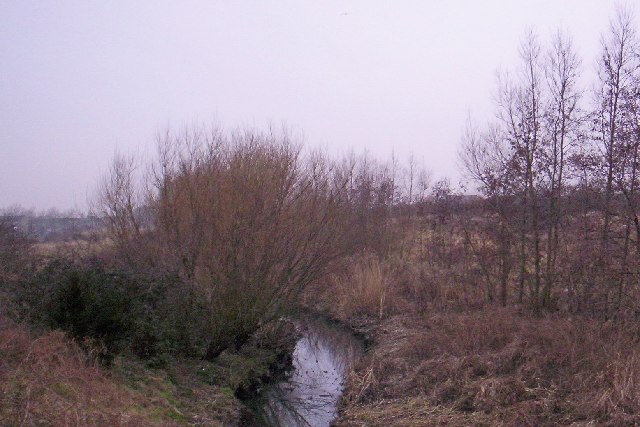
English: River Alt, Croxteth. This river rises in Huyton and 28km later falls into the Mersey estuary at Formby Bank.
|
| ⧼wm-license-information-date⧽ | 2006 |
| ⧼wm-license-information-source⧽ | From geograph.org.uk |
| ⧼wm-license-information-author⧽ | S Parish |
| ⧼wm-license-cc-attribution⧽ (قالب:I18n/Credit line) |
S Parish / River Alt, Croxteth / |
ترخيص
تاريخ الملف
اضغط على زمن/تاريخ لرؤية الملف كما بدا في هذا الزمن.
| زمن/تاريخ | صورة مصغرة | الأبعاد | مستخدم | تعليق | |
|---|---|---|---|---|---|
| حالي | ★ مراجعة معتمدة 01:24، 12 نوفمبر 2023 | | 640 × 427 (79 كيلوبايت) | Pastakhov (نقاش | مساهمات) | Upload https://upload.wikimedia.org/wikipedia/commons/d/da/River_Alt%2C_Gillmoss-_geograph.org.uk_-_117904.jpg |
لا يمكنك استبدال هذا الملف.
وصلات
لا يوجد صفحات تصل لهذه الصورة.