ملف:Ressener Muehlenfliess 03.JPG

حجم هذه المعاينة: 800 × 533 بكسل. البعدان الآخران: 2٬560 × 1٬707 بكسل | 5٬427 × 3٬618 بكسل.
الملف الأصلي (5٬427 × 3٬618 بكسل حجم الملف: 15٫6 ميجابايت، نوع MIME: image/jpeg)
وصف قصير
| ⧼wm-license-information-description⧽ |
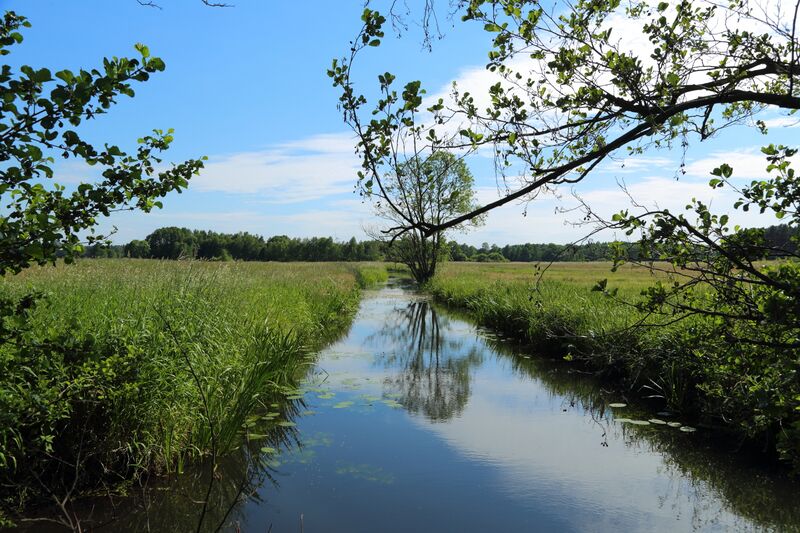
English: The river Ressener Mühlenfließ. At this point between Guhlen and Leibchel
it forms the municipality border between Märkische Heide and Schwielochsee, Landkreis Dahme-Spreewald, Brandenburg, Germany.
Deutsch: Der Fluss Ressener Mühlenfließ. An dieser Stelle zwischen Guhlen und Leibchel bildet er die Gemeindegrenze zwischen Märkische Heide und Schwielochsee, beide im Landkreis Dahme-Spreewald, Brandenburg, Deutschland.
|
| ⧼wm-license-information-date⧽ | 2015 |
| ⧼wm-license-information-source⧽ | ⧼Wm-license-own-work⧽ |
| ⧼wm-license-information-author⧽ | J.-H. Janßen |
52°1.6518′0″N 14°6.9829′0″E / 52.02753°N 14.11638°E
ترخيص
|

تاريخ الملف
اضغط على زمن/تاريخ لرؤية الملف كما بدا في هذا الزمن.
| زمن/تاريخ | صورة مصغرة | الأبعاد | مستخدم | تعليق | |
|---|---|---|---|---|---|
| حالي | ★ مراجعة معتمدة 11:16، 1 نوفمبر 2023 | | 5٬427 × 3٬618 (15٫6 ميجابايت) | Pastakhov (نقاش | مساهمات) | Upload https://upload.wikimedia.org/wikipedia/commons/0/0a/Ressener_Muehlenfliess_03.JPG |
لا يمكنك استبدال هذا الملف.
وصلات
لا يوجد صفحات تصل لهذه الصورة.
معلومات الصورة (ميتا)
تصنيفات:
- Pages using gadget WikiMiniAtlas
- Self-published work
- Leibchel
- Guhlen
- Ressener Mühlenfließ
- Borders of Germany
- Märkische Heide photographs taken on 2015-06-11
- Schwielochsee (Gemeinde) photographs taken on 2015-06-11
- Photographs by Jan-Herm Janßen/Schwielochsee (Gemeinde)
- Taken with Canon EOS 6D and Canon EF 24-105mm F4L IS USM