ملف:Redcar and Cleveland UK locator map (2023).svg

حجم معاينة PNG لذلك الملف ذي الامتداد SVG: 800 × 582 بكسل. البعد الآخر: 2٬560 × 1٬863 بكسل.
الملف الأصلي (ملف SVG، أبعاده 1٬425 × 1٬037 بكسل، حجم الملف: 1٫11 ميجابايت)
| ⧼wm-license-information-description⧽ |
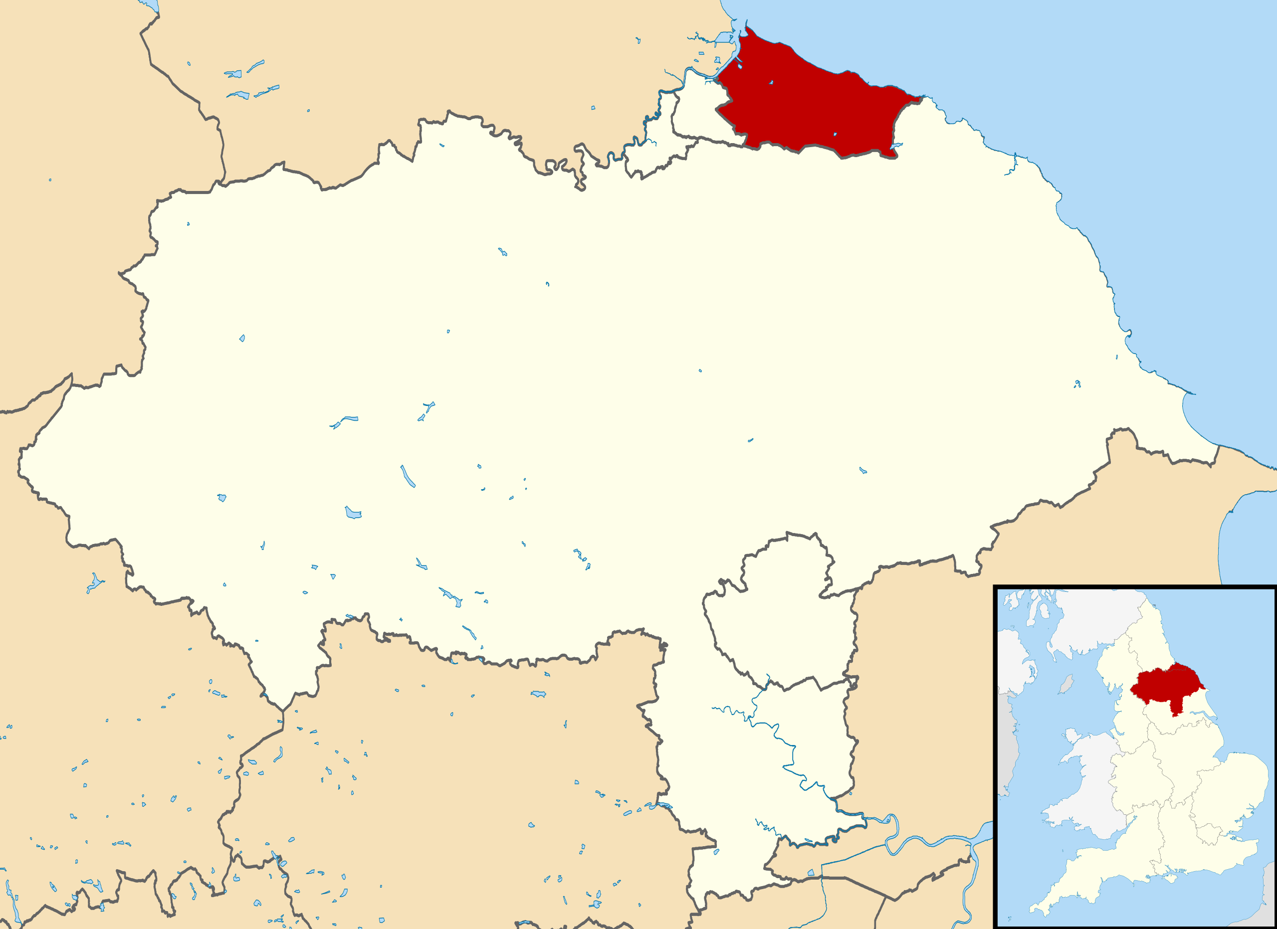
Map of North Yorkshire, UK with Redcar and Cleveland highlighted. Equirectangular map projection on WGS 84 datum, with N/S stretched 170% |
||
| ⧼wm-license-information-date⧽ | 2023 | ||
| ⧼wm-license-information-source⧽ | Ordnance Survey OpenData.
|
||
| ⧼wm-license-information-author⧽ | Rcsprinter123, based on a work by Nilfanion created using Ordnance Survey data | ||
| ⧼wm-license-information-permission⧽ (⧼wm-license-information-permission-reusing-text⧽) |
|
تاريخ الملف
اضغط على زمن/تاريخ لرؤية الملف كما بدا في هذا الزمن.
| زمن/تاريخ | صورة مصغرة | الأبعاد | مستخدم | تعليق | |
|---|---|---|---|---|---|
| حالي | ★ مراجعة معتمدة 20:48، 17 أكتوبر 2023 | | 1٬425 × 1٬037 (1٫11 ميجابايت) | Pastakhov (نقاش | مساهمات) | Upload https://upload.wikimedia.org/wikipedia/commons/5/50/Redcar_and_Cleveland_UK_locator_map_%282023%29.svg |
لا يمكنك استبدال هذا الملف.
وصلات
لا يوجد صفحات تصل لهذه الصورة.
.svg&oldid=3162715)