ملف:Région métropolitaine de Trois-Rivières-blank.svg

حجم معاينة PNG لذلك الملف ذي الامتداد SVG: 800 × 532 بكسل. البعد الآخر: 2٬560 × 1٬701 بكسل.
الملف الأصلي (ملف SVG، أبعاده 1٬470 × 977 بكسل، حجم الملف: 287 كيلوبايت)
وصف قصير
| ⧼wm-license-information-description⧽ |
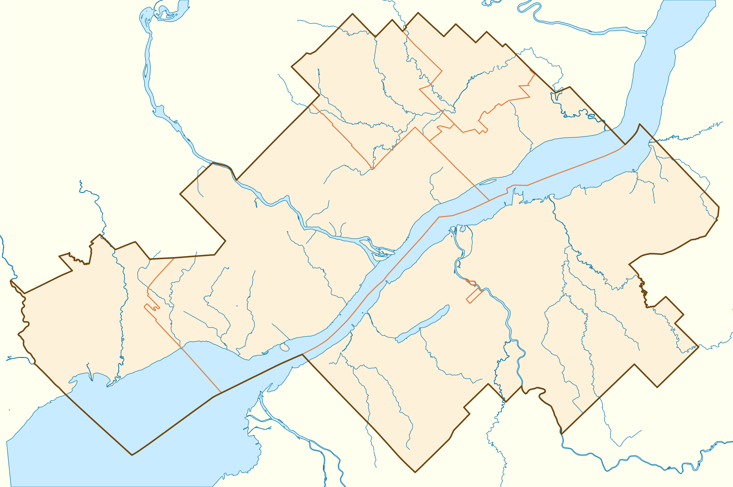
Français : Carte vierge de la région métropolitaine de Trois-Rivières (Québec), affichant son contour, le découpage des municipalités qui la composent, et ses principaux cours d'eau.
Projection conique conforme de Lambert |
||
| ⧼wm-license-information-date⧽ | 2013, {{time}} – invalid date format 28 (help) | ||
| ⧼wm-license-information-source⧽ | D'après la carte Secteur de recensement selon RMR / AR de Trois-Rivières (lien), 14 novembre 2011. | ||
| ⧼wm-license-information-author⧽ | Flappiefh | ||
| ⧼wm-license-information-other-versions⧽ | |||
| SVG |
قالب:ValidSVG
|
||
| Graphic Lab | قالب:Graphic Lab |
ترخيص
|
تاريخ الملف
اضغط على زمن/تاريخ لرؤية الملف كما بدا في هذا الزمن.
| زمن/تاريخ | صورة مصغرة | الأبعاد | مستخدم | تعليق | |
|---|---|---|---|---|---|
| حالي | ★ مراجعة معتمدة 20:45، 2 نوفمبر 2023 | | 1٬470 × 977 (287 كيلوبايت) | Pastakhov (نقاش | مساهمات) | Upload https://upload.wikimedia.org/wikipedia/commons/c/c2/R%C3%A9gion_m%C3%A9tropolitaine_de_Trois-Rivi%C3%A8res-blank.svg |
لا يمكنك استبدال هذا الملف.
وصلات
لا يوجد صفحات تصل لهذه الصورة.