ملف:Pyrénées-Orientales department relief location map.jpg
حجم هذه المعاينة: 800 × 492 بكسل. البعد الآخر: 999 × 615 بكسل.
الملف الأصلي (999 × 615 بكسل حجم الملف: 755 كيلوبايت، نوع MIME: image/jpeg)
وصف قصير
| ⧼wm-license-information-description⧽ |
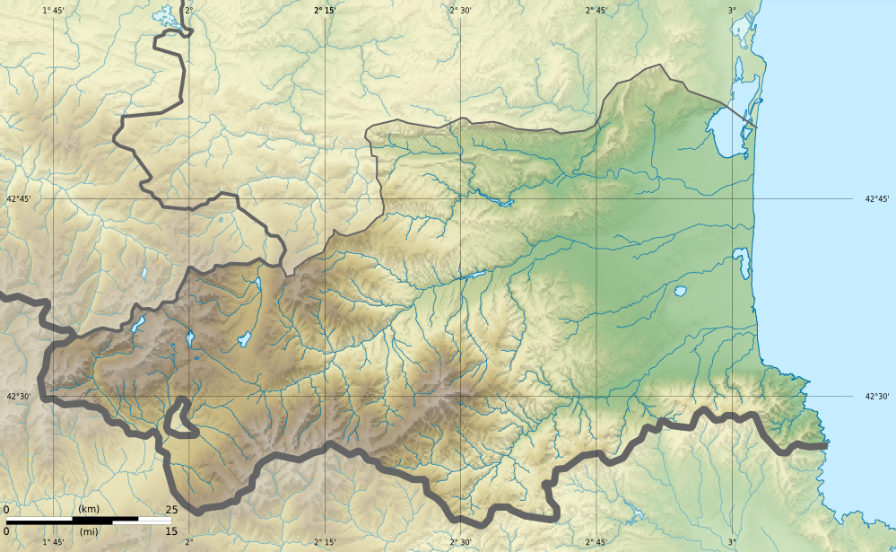
English: Blank physical map of the department of Pyrénées-Orientales, France, for geo-location purpose. français: Carte physique vierge du département du Pyrénées-Orientales, France, destinée à la géolocalisation.
|
| ⧼wm-license-information-date⧽ | 06:12, 26 February 2013 (UTC) |
| ⧼wm-license-information-source⧽ | ⧼Wm-license-own-work⧽.
English: Data sources:
français: Sources des données :
|
| ⧼wm-license-information-author⧽ | |
| ⧼wm-license-information-other-versions⧽ |
|
| ⧼wm-license-cc-attribution⧽ (قالب:I18n/Credit line) |
© Hawk-Eye / Wikimedia Commons / |
ترخيص
|
|
هذا الملفُّ مُرخَّص بموجب رخصة المشاع الإبداعي نسبة المُصنَّف إِلى مؤلفه - المشاركة بالمثل 3.0 العامة. |
تاريخ الملف
اضغط على زمن/تاريخ لرؤية الملف كما بدا في هذا الزمن.
| زمن/تاريخ | صورة مصغرة | الأبعاد | مستخدم | تعليق | |
|---|---|---|---|---|---|
| حالي | ★ مراجعة معتمدة 15:39، 30 أكتوبر 2023 | | 999 × 615 (755 كيلوبايت) | Pastakhov (نقاش | مساهمات) | Upload https://upload.wikimedia.org/wikipedia/commons/c/c4/Pyr%C3%A9n%C3%A9es-Orientales_department_relief_location_map.jpg |
لا يمكنك استبدال هذا الملف.
وصلات
لا يوجد صفحات تصل لهذه الصورة.