ملف:Putyvl-Ukraine-Map.PNG
حجم هذه المعاينة: 800 × 533 بكسل. البعد الآخر: 1٬200 × 799 بكسل.
الملف الأصلي (1٬200 × 799 بكسل حجم الملف: 76 كيلوبايت، نوع MIME: image/png)
وصف قصير
| ⧼wm-license-information-description⧽ |
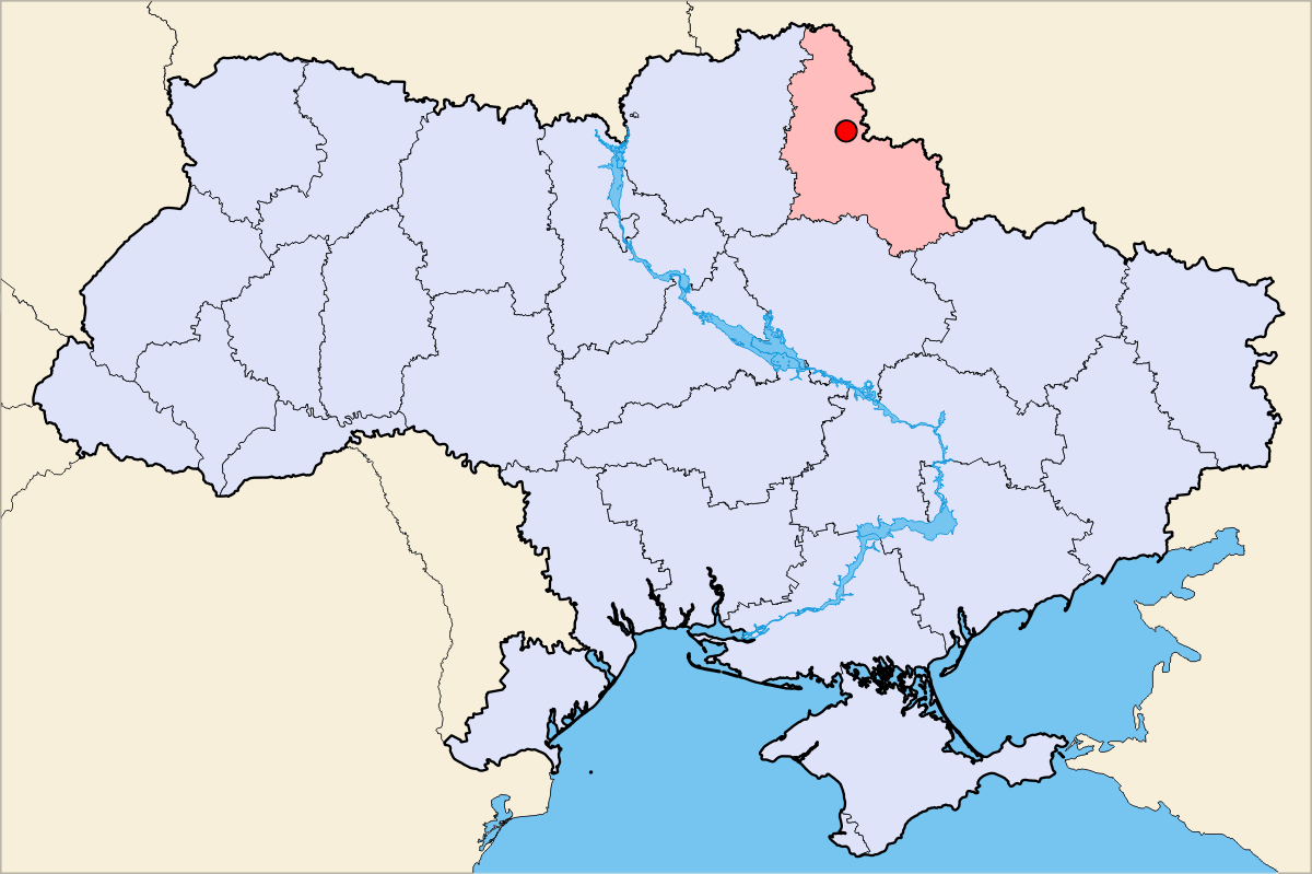
Description = Putyvl geographical position
|
| ⧼wm-license-information-date⧽ | قالب:Original upload date |
| ⧼wm-license-information-source⧽ | No machine-readable source provided. Own work assumed (based on copyright claims). |
| ⧼wm-license-information-author⧽ | No machine-readable author provided. DDima assumed (based on copyright claims). |
ترخيص
قالب:Cc-by-sa-3.0-migrated |

تاريخ الملف
اضغط على زمن/تاريخ لرؤية الملف كما بدا في هذا الزمن.
| زمن/تاريخ | صورة مصغرة | الأبعاد | مستخدم | تعليق | |
|---|---|---|---|---|---|
| حالي | ★ مراجعة معتمدة 16:58، 5 أكتوبر 2023 | | 1٬200 × 799 (76 كيلوبايت) | Pastakhov (نقاش | مساهمات) | Upload https://upload.wikimedia.org/wikipedia/commons/7/7e/Putyvl-Ukraine-Map.PNG |
لا يمكنك استبدال هذا الملف.
وصلات
لا يوجد صفحات تصل لهذه الصورة.