ملف:Poland 1956-1990.svg

حجم معاينة PNG لذلك الملف ذي الامتداد SVG: 450 × 456 بكسل. البعد الآخر: 2٬021 × 2٬048 بكسل.
الملف الأصلي (ملف SVG، أبعاده 450 × 456 بكسل، حجم الملف: 474 كيلوبايت)
وصف قصير
| ⧼wm-license-information-description⧽ |
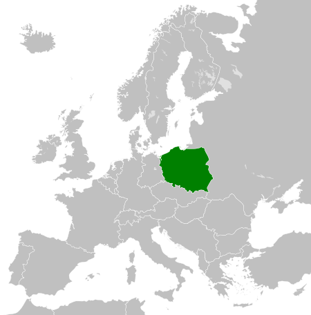
English: Map of the People's Republic of Poland as it was from 1945-1990. Surrounding countries accurate from 1956-1990. Deutsch: Karte von Volksrepublik Polen c. 1945-1990 (andere Länder richtig von 1956-1990).
|
| ⧼wm-license-information-date⧽ | 2011-11-26 00:14 (UTC) |
| ⧼wm-license-information-source⧽ | |
| ⧼wm-license-information-author⧽ |
|
| ⧼wm-license-information-other-versions⧽ |
| [This is a retouched picture, which means that it has been digitally altered from its original version. The original can be viewed here: Blank_map_of_Europe_1956-1990.svg.] Error: {{Lang}}: text has italic markup (help)
|
ترخيص
|
قالب:Original upload log
This image is a derivative work of the following images:
- File:Blank_map_of_Europe_1956-1990.svg licensed with Cc-by-sa-3.0
- 2011-10-30T04:43:42Z Alphathon 450x456 (485146 Bytes) == {{int:filedesc}} == {{Information |Description={{en|Blank map of Europe showing national borders as they stood from 1956-1990.}} |Source=*[[:File:Blank_map_of_Europe.svg|]] |Date=2011-10-30 04:42 (UTC) |Author=*[[:File:Bla
تاريخ الملف
اضغط على زمن/تاريخ لرؤية الملف كما بدا في هذا الزمن.
| زمن/تاريخ | صورة مصغرة | الأبعاد | مستخدم | تعليق | |
|---|---|---|---|---|---|
| حالي | ★ مراجعة معتمدة 16:19، 11 أكتوبر 2023 | | 450 × 456 (474 كيلوبايت) | Pastakhov (نقاش | مساهمات) | Upload https://upload.wikimedia.org/wikipedia/commons/4/44/Poland_1956-1990.svg |
لا يمكنك استبدال هذا الملف.
وصلات
لا يوجد صفحات تصل لهذه الصورة.