ملف:Poienile de sub Munte jud Maramures.svg

حجم معاينة PNG لذلك الملف ذي الامتداد SVG: 800 × 401 بكسل. البعد الآخر: 2٬560 × 1٬284 بكسل.
الملف الأصلي (ملف SVG، أبعاده 1٬725 × 865 بكسل، حجم الملف: 1٫1 ميجابايت)
وصف قصير
| ⧼wm-license-information-description⧽ |
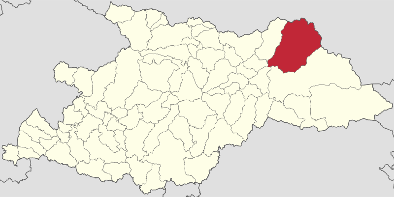
English: Locator map of Poienile de sub Munte in Maramureș County.
|
| ⧼wm-license-information-date⧽ | 2022 |
| ⧼wm-license-information-source⧽ | Geometrical data created by ANCPI, a Romanian governmental organization, and published under the Open Government License. Shapefile conversion done by Cristian Balint and Vasile Crăciunescu at geo-spatial.org and released under the same license. |
| ⧼wm-license-information-author⧽ | ANCPI, Geo-Spatial, User:Reodorant |
ترخيص
تاريخ الملف
اضغط على زمن/تاريخ لرؤية الملف كما بدا في هذا الزمن.
| زمن/تاريخ | صورة مصغرة | الأبعاد | مستخدم | تعليق | |
|---|---|---|---|---|---|
| حالي | ★ مراجعة معتمدة 03:38، 11 أكتوبر 2023 | | 1٬725 × 865 (1٫1 ميجابايت) | Pastakhov (نقاش | مساهمات) | Upload https://upload.wikimedia.org/wikipedia/commons/0/0f/Poienile_de_sub_Munte_jud_Maramures.svg |
لا يمكنك استبدال هذا الملف.
وصلات
لا يوجد صفحات تصل لهذه الصورة.