ملف:Plaque route Fortifications Paris 2.jpg
حجم هذه المعاينة: 800 × 434 بكسل. البعد الآخر: 3٬302 × 1٬793 بكسل.
الملف الأصلي (3٬302 × 1٬793 بكسل حجم الملف: 1٫43 ميجابايت، نوع MIME: image/jpeg)
وصف قصير
| ⧼wm-license-information-description⧽ |
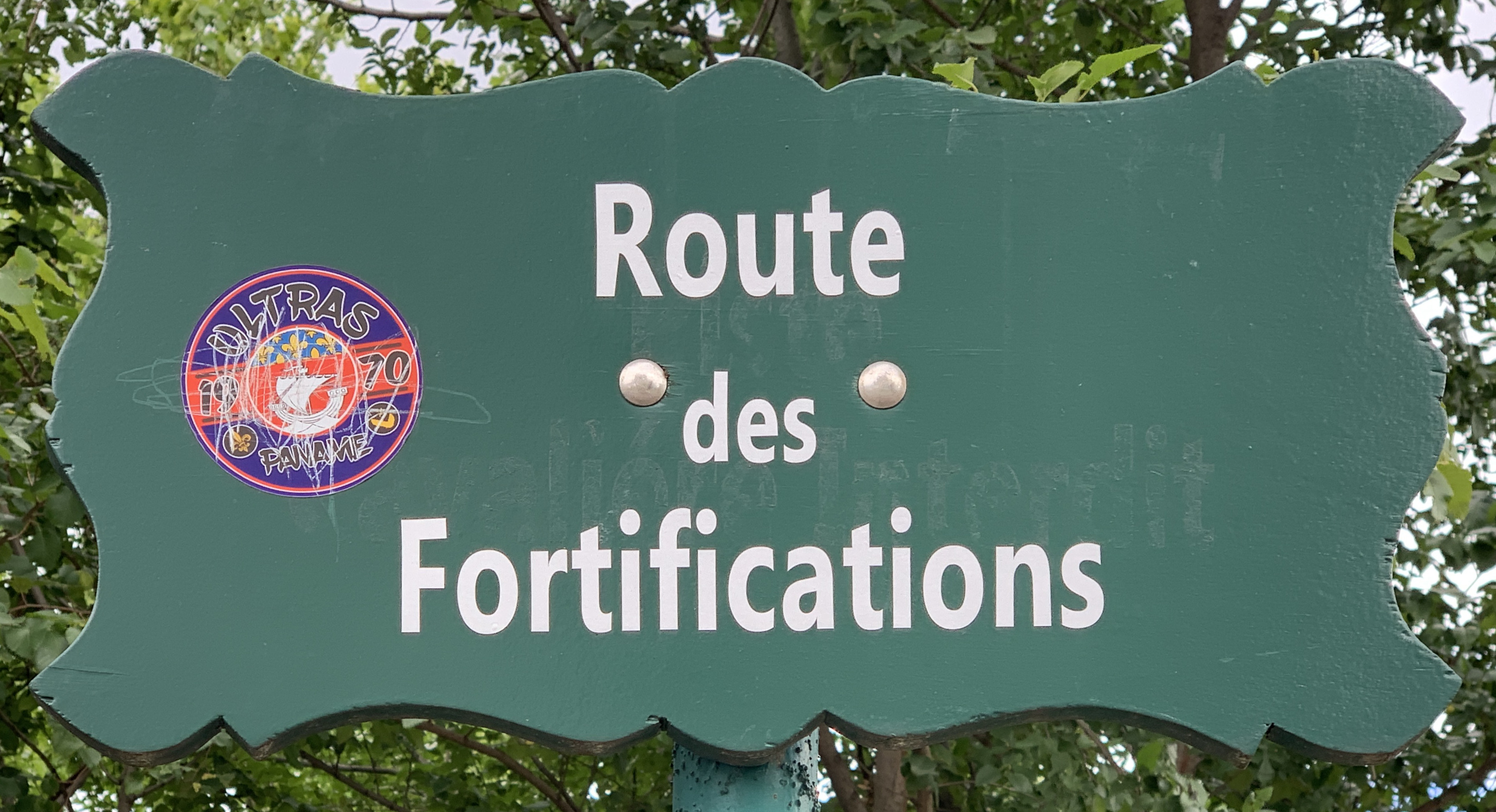
Français : Plaque de la route des Fortifications, Paris.
|
| ⧼wm-license-information-date⧽ | 2020, 12:16 am UTC+17:00 [refresh] |
| ⧼wm-license-information-source⧽ | ⧼Wm-license-own-work⧽ |
| ⧼wm-license-information-author⧽ | Chabe01 |
48°49′55″N 2°24′13″E / 48.831925°N 2.403478°E
ترخيص
|
تاريخ الملف
اضغط على زمن/تاريخ لرؤية الملف كما بدا في هذا الزمن.
| زمن/تاريخ | صورة مصغرة | الأبعاد | مستخدم | تعليق | |
|---|---|---|---|---|---|
| حالي | ★ مراجعة معتمدة 21:27، 13 أكتوبر 2023 | | 3٬302 × 1٬793 (1٫43 ميجابايت) | Pastakhov (نقاش | مساهمات) | Upload https://upload.wikimedia.org/wikipedia/commons/5/57/Plaque_route_Fortifications_Paris_2.jpg |
لا يمكنك استبدال هذا الملف.
وصلات
لا يوجد صفحات تصل لهذه الصورة.
معلومات الصورة (ميتا)
تصنيفات:
- Pages using gadget WikiMiniAtlas
- Self-published work
- Images of street signs by Chabe01
- Street signs in Paris 12e arrondissement
- Street signs in the Bois de Vincennes
- Wooden street signs in Paris
- Green street signs in Paris
- Route des Fortifications (Paris)
- Images of Paris 12e arrondissement by Chabe01
- Images by Chabe01 taken with iPhone XS
- Paris photographs taken on 2020-06-07