ملف:Place name sign Reinhardsachsen.jpg
حجم هذه المعاينة: 800 × 450 بكسل. البعدان الآخران: 2٬560 × 1٬440 بكسل | 3٬840 × 2٬160 بكسل.
الملف الأصلي (3٬840 × 2٬160 بكسل حجم الملف: 3٫51 ميجابايت، نوع MIME: image/jpeg)
وصف قصير
| ⧼wm-license-information-description⧽ |
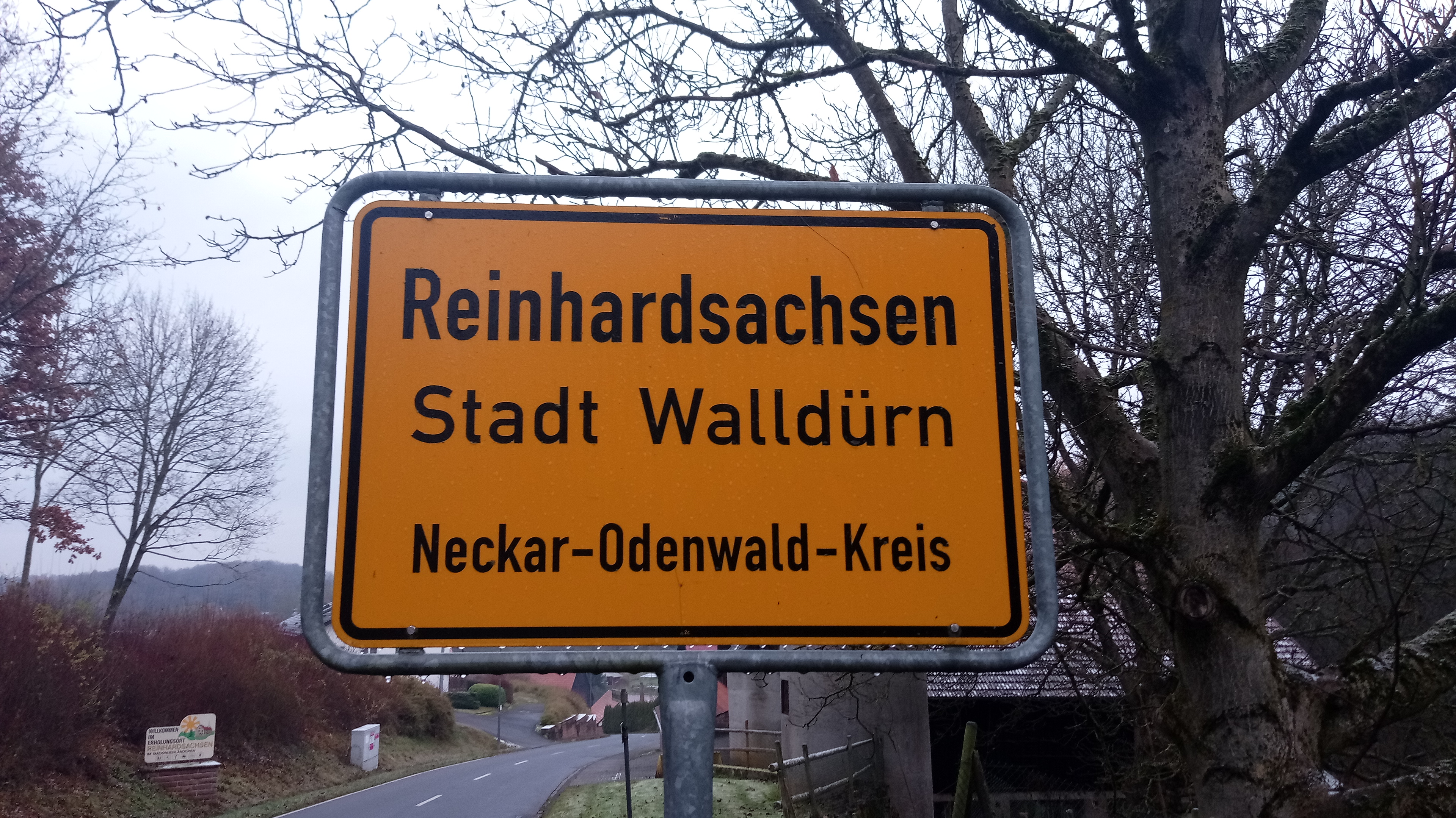
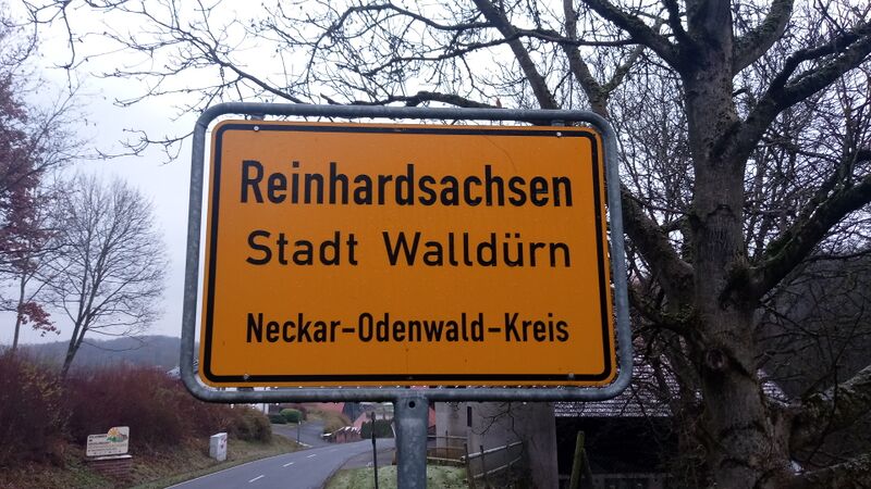
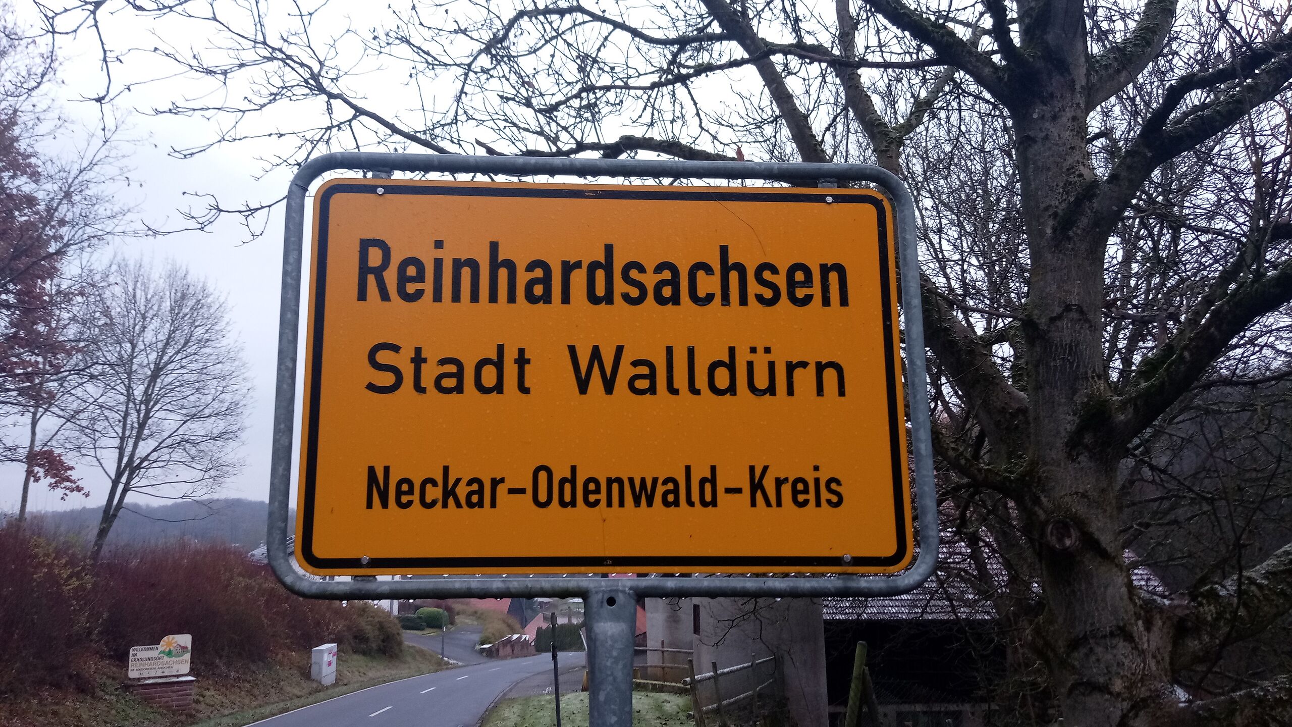
Deutsch: Ortstafel Reinhardsachsen
|
| ⧼wm-license-information-date⧽ | 2021 (according to Exif data) |
| ⧼wm-license-information-source⧽ | ⧼Wm-license-own-work⧽ |
| ⧼wm-license-information-author⧽ | Granpar |
49°38′21″N 9°20′34″E / 49.63904569444444°N 9.342795361111111°E
ترخيص
|
تاريخ الملف
اضغط على زمن/تاريخ لرؤية الملف كما بدا في هذا الزمن.
| زمن/تاريخ | صورة مصغرة | الأبعاد | مستخدم | تعليق | |
|---|---|---|---|---|---|
| حالي | ★ مراجعة معتمدة 01:57، 11 أكتوبر 2023 | | 3٬840 × 2٬160 (3٫51 ميجابايت) | Pastakhov (نقاش | مساهمات) | Upload https://upload.wikimedia.org/wikipedia/commons/e/e6/Place_name_sign_Reinhardsachsen.jpg |
لا يمكنك استبدال هذا الملف.
وصلات
لا يوجد صفحات تصل لهذه الصورة.