ملف:Place name sign Landkreis Miltenberg FRONT.jpg
حجم هذه المعاينة: 337 × 599 بكسل. البعد الآخر: 2٬160 × 3٬840 بكسل.
الملف الأصلي (2٬160 × 3٬840 بكسل حجم الملف: 3٫61 ميجابايت، نوع MIME: image/jpeg)
وصف قصير
| ⧼wm-license-information-description⧽ |
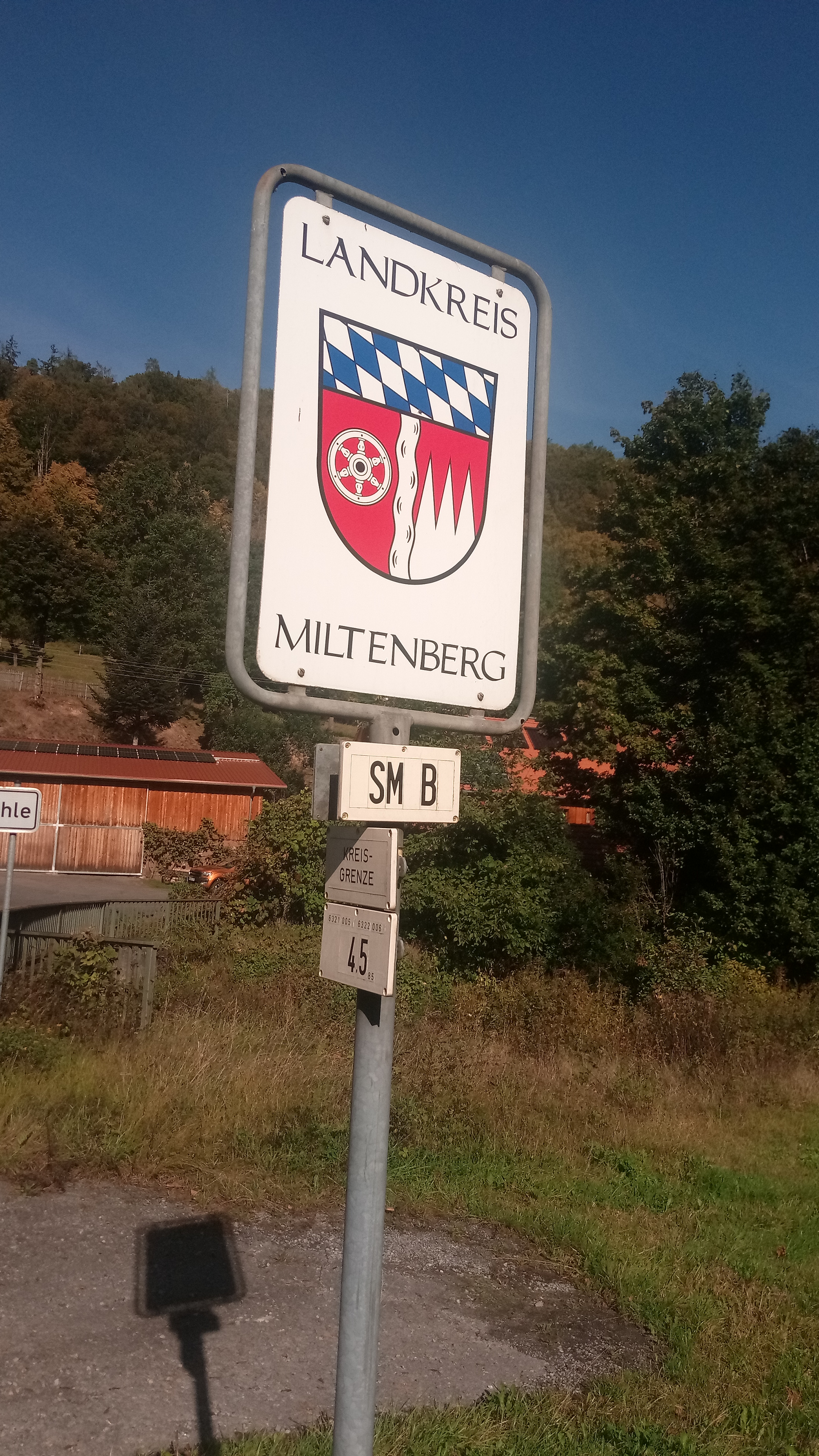
Deutsch: Landkreistafel Landkreis Miltenberg von vorne
|
| ⧼wm-license-information-date⧽ | 2021 (according to Exif data) |
| ⧼wm-license-information-source⧽ | ⧼Wm-license-own-work⧽ |
| ⧼wm-license-information-author⧽ | Granpar |
49°39′12″N 9°21′32″E / 49.653343194444446°N 9.358945833333333°E
ترخيص
تاريخ الملف
اضغط على زمن/تاريخ لرؤية الملف كما بدا في هذا الزمن.
| زمن/تاريخ | صورة مصغرة | الأبعاد | مستخدم | تعليق | |
|---|---|---|---|---|---|
| حالي | ★ مراجعة معتمدة 22:14، 10 أكتوبر 2023 | | 2٬160 × 3٬840 (3٫61 ميجابايت) | Pastakhov (نقاش | مساهمات) | Upload https://upload.wikimedia.org/wikipedia/commons/2/24/Place_name_sign_Landkreis_Miltenberg_FRONT.jpg |
لا يمكنك استبدال هذا الملف.
وصلات
لا يوجد صفحات تصل لهذه الصورة.