ملف:Pilsbury to Crowdecote via Pilsbury Castle Hills (6 of 14) - geograph.org.uk - 1713842.jpg
حجم هذه المعاينة: 800 × 461 بكسل. البعد الآخر: 3٬504 × 2٬017 بكسل.
الملف الأصلي (3٬504 × 2٬017 بكسل حجم الملف: 4٫94 ميجابايت، نوع MIME: image/jpeg)
وصف قصير
| ⧼wm-license-information-description⧽ |
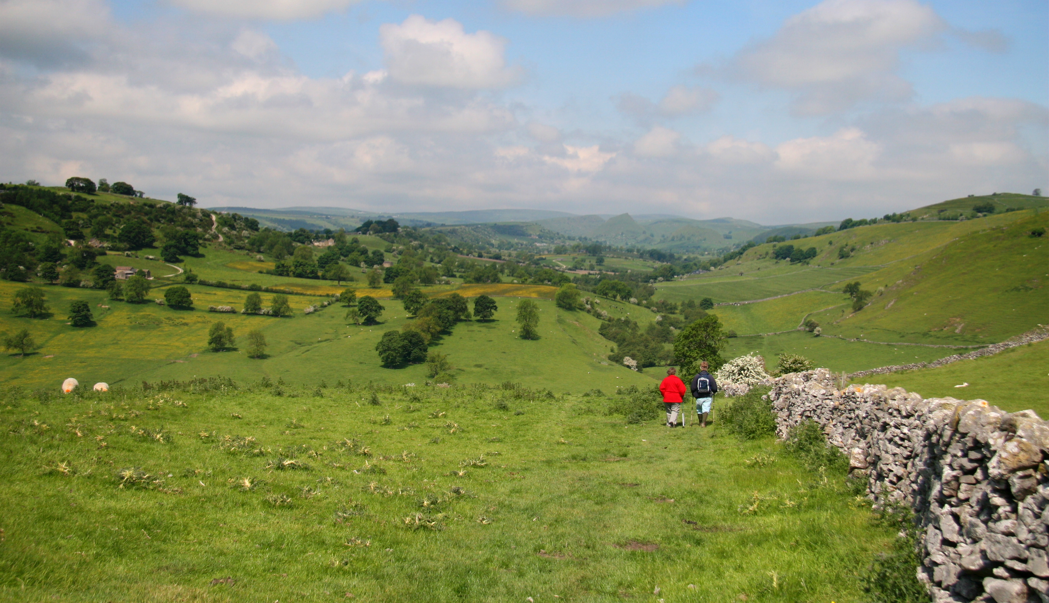
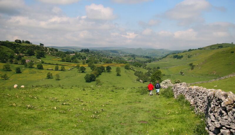
English: Pilsbury to Crowdecote via Pilsbury Castle Hills (6 of 14) 1713838: Previous - Next : 1714135
This north-westerly facing photograph of the Upper Dove Valley was taken from a public footpath on the hillside above and to the north-west of Pilsbury village. The footpath to Crowdecote descends to the valley bottom and can be seen (right of centre) crossing the fields in the middle distance. To view the first photograph in the sequence click here https://www.geograph.org.uk/photo/1713803. |
| ⧼wm-license-information-date⧽ | 2008 |
| ⧼wm-license-information-source⧽ | From geograph.org.uk |
| ⧼wm-license-information-author⧽ | Alan Walker |
| ⧼wm-license-cc-attribution⧽ (قالب:I18n/Credit line) |
Alan Walker / Pilsbury to Crowdecote via Pilsbury Castle Hills (6 of 14) / |
_-_geograph.org.uk_-_1713838.jpg&action=edit&redlink=1)
_-_geograph.org.uk_-_1714135.jpg&action=edit&redlink=1)
53°10′12″N 1°49′35″W / 53.16997°N 1.8264°W قالب:Object location
_-_geograph.org.uk_-_1713842.jpg¶ms=53.16997_N_1.8264_W_source:geograph-osgb36(SK11706366)_heading:315)
ترخيص
تاريخ الملف
اضغط على زمن/تاريخ لرؤية الملف كما بدا في هذا الزمن.
| زمن/تاريخ | صورة مصغرة | الأبعاد | مستخدم | تعليق | |
|---|---|---|---|---|---|
| حالي | ★ مراجعة معتمدة 02:38، 7 نوفمبر 2023 | | 3٬504 × 2٬017 (4٫94 ميجابايت) | Pastakhov (نقاش | مساهمات) | Upload https://upload.wikimedia.org/wikipedia/commons/6/69/Pilsbury_to_Crowdecote_via_Pilsbury_Castle_Hills_%286_of_14%29_-_geograph.org.uk_-_1713842.jpg |
لا يمكنك استبدال هذا الملف.
وصلات
لا يوجد صفحات تصل لهذه الصورة.
_-_geograph.org.uk_-_1713842.jpg&oldid=3399581)