ملف:Petaluma California aerial view.jpg
حجم هذه المعاينة: 800 × 533 بكسل. البعد الآخر: 1٬500 × 999 بكسل.
الملف الأصلي (1٬500 × 999 بكسل حجم الملف: 713 كيلوبايت، نوع MIME: image/jpeg)
| ⧼wm-license-information-description⧽ |
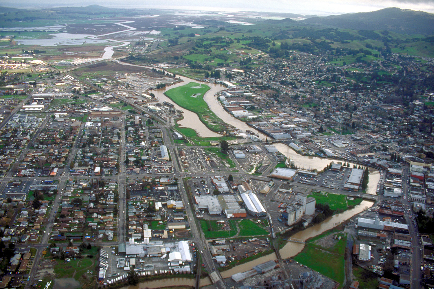
English: Aerial view of Petaluma, California, USA. The Petaluma River flows through the center of the city and empties into San Pablo Bay about 12 miles (19 km) in the distance. This photograph shows only about one third of the city. View is to the southeast.
Coordinates: |
||||
| ⧼wm-license-information-date⧽ | not specified or unknown | ||||
| ⧼wm-license-information-source⧽ | U.S. Army Corps of Engineers Digital Visual Library Image page Image description page Digital Visual Library home page |
||||
| ⧼wm-license-information-author⧽ | Robert Campbell | ||||
| ⧼wm-license-information-permission⧽ (⧼wm-license-information-permission-reusing-text⧽) |
|
||||
| قالب:Location/i18n | Petaluma, California, USA |

تاريخ الملف
اضغط على زمن/تاريخ لرؤية الملف كما بدا في هذا الزمن.
| زمن/تاريخ | صورة مصغرة | الأبعاد | مستخدم | تعليق | |
|---|---|---|---|---|---|
| حالي | ★ مراجعة معتمدة 22:13، 4 نوفمبر 2023 | | 1٬500 × 999 (713 كيلوبايت) | Pastakhov (نقاش | مساهمات) | Upload https://upload.wikimedia.org/wikipedia/commons/f/f4/Petaluma_California_aerial_view.jpg |
لا يمكنك استبدال هذا الملف.
وصلات
لا يوجد صفحات تصل لهذه الصورة.