ملف:Parish Boundary Tree - geograph.org.uk - 111615.jpg
لا توجد دقة أعلى متوفرة.
Parish_Boundary_Tree_-_geograph.org.uk_-_111615.jpg (640 × 480 بكسل حجم الملف: 82 كيلوبايت، نوع MIME: image/jpeg)
وصف قصير
| ⧼wm-license-information-description⧽ |
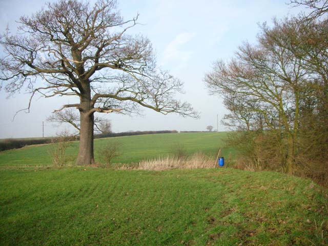
English: Parish Boundary Tree. The tree stands on the boundary between Clopton and Lilford-cum-Wigsthorpe. The bridleway to Wigsthorpe dog-legs left past the tree then climbs the hill alongside the hedge. The blue barrel is probably a pheasant-feeder.
|
| ⧼wm-license-information-date⧽ | 2006 |
| ⧼wm-license-information-source⧽ | From geograph.org.uk |
| ⧼wm-license-information-author⧽ | Will Lovell |
| ⧼wm-license-cc-attribution⧽ (قالب:I18n/Credit line) |
Will Lovell / Parish Boundary Tree / |
ترخيص
تاريخ الملف
اضغط على زمن/تاريخ لرؤية الملف كما بدا في هذا الزمن.
| زمن/تاريخ | صورة مصغرة | الأبعاد | مستخدم | تعليق | |
|---|---|---|---|---|---|
| حالي | ★ مراجعة معتمدة 02:49، 28 أكتوبر 2023 | | 640 × 480 (82 كيلوبايت) | Pastakhov (نقاش | مساهمات) | Upload https://upload.wikimedia.org/wikipedia/commons/4/49/Parish_Boundary_Tree_-_geograph.org.uk_-_111615.jpg |
لا يمكنك استبدال هذا الملف.
وصلات
لا يوجد صفحات تصل لهذه الصورة.