ملف:Para Municip MojuiDosCampos.png
لا توجد دقة أعلى متوفرة.
Para_Municip_MojuiDosCampos.png (620 × 599 بكسل حجم الملف: 136 كيلوبايت، نوع MIME: image/png)
مستخدم:Raphael.lorenzeto/DerivativeMaps
وصف قصير
| ⧼wm-license-information-description⧽ |
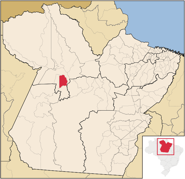
English: Map locator of Pará's Mojuí dos Campos city. (Portuguese)
|
| ⧼wm-license-information-date⧽ | 2012 |
| ⧼wm-license-information-source⧽ | قالب:Derived from |
| ⧼wm-license-information-author⧽ |
|
| [This is a retouched picture, which means that it has been digitally altered from its original version. The original can be viewed here: SantaremMetro.png. Modifications made by Hallel.] Error: {{Lang}}: text has italic markup (help)
|
ترخيص
|
قالب:Original upload log
This image is a derivative work of the following images:
- File:SantaremMetro.png licensed with Cc-by-sa-3.0
تاريخ الملف
اضغط على زمن/تاريخ لرؤية الملف كما بدا في هذا الزمن.
| زمن/تاريخ | صورة مصغرة | الأبعاد | مستخدم | تعليق | |
|---|---|---|---|---|---|
| حالي | ★ مراجعة معتمدة 23:13، 14 نوفمبر 2023 | | 620 × 599 (136 كيلوبايت) | Pastakhov (نقاش | مساهمات) | Upload https://upload.wikimedia.org/wikipedia/commons/2/20/Para_Municip_MojuiDosCampos.png |
لا يمكنك استبدال هذا الملف.
وصلات
لا يوجد صفحات تصل لهذه الصورة.