ملف:Ostpreussen RB Westpreussen wiki.PNG
حجم هذه المعاينة: 557 × 600 بكسل. البعد الآخر: 1٬772 × 1٬908 بكسل.
الملف الأصلي (1٬772 × 1٬908 بكسل حجم الملف: 399 كيلوبايت، نوع MIME: image/png)
وصف قصير
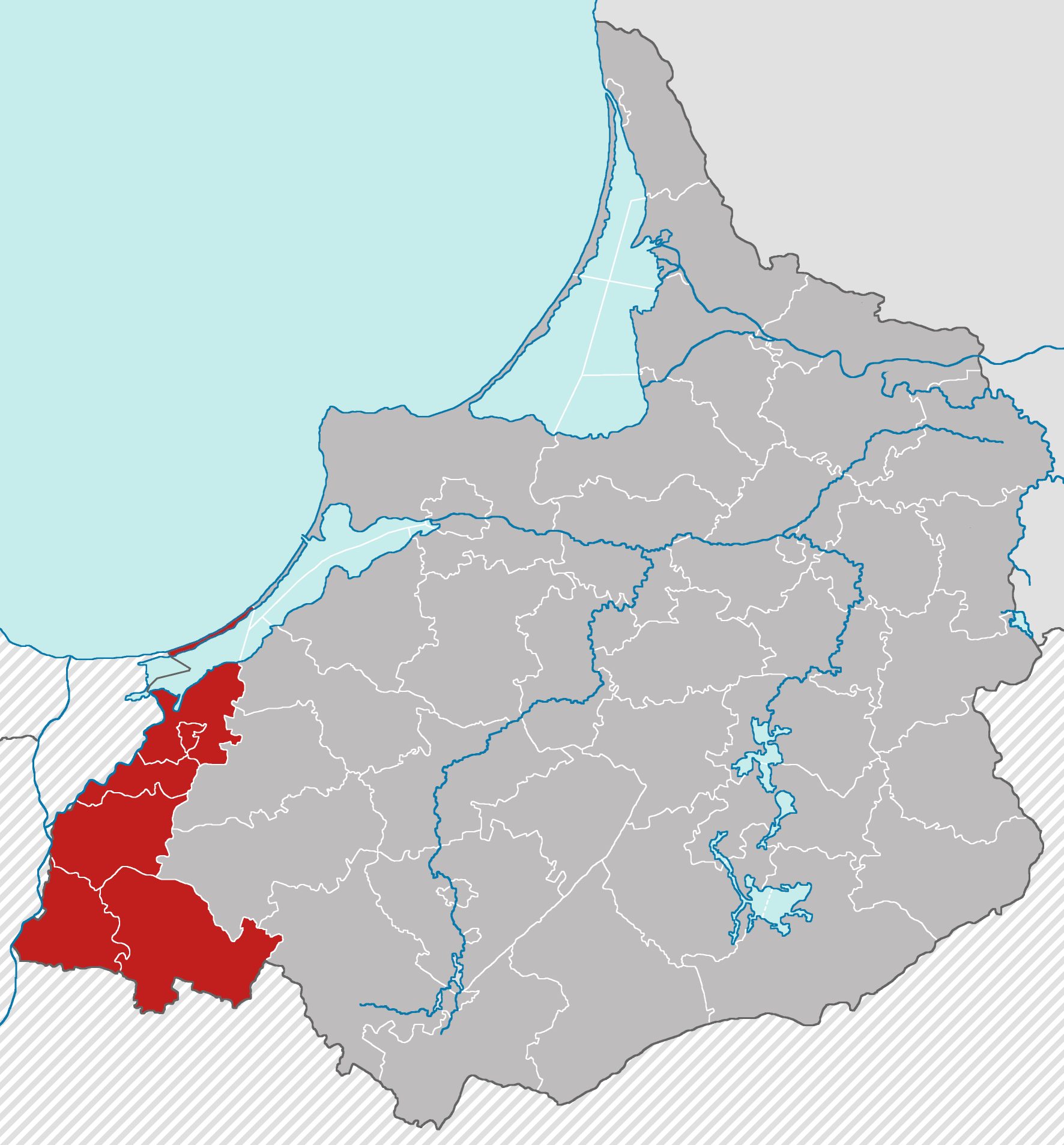
error in map - see discussion
| ⧼wm-license-information-description⧽ |
English: Locator map of Regierungsbezirk Westpreußen in East Prussia with Borders of 31.08.1939 Deutsch: Lage des Regierungsbezirk Westpreußen in Ostpreußen in den Grenzen vom 31.08.1939
|
| ⧼wm-license-information-date⧽ | 2012, {{time}} – invalid date format 28 (help) |
| ⧼wm-license-information-source⧽ | ⧼Wm-license-own-work⧽ |
| ⧼wm-license-information-author⧽ | Niedersachse66 |
ترخيص
|
تاريخ الملف
اضغط على زمن/تاريخ لرؤية الملف كما بدا في هذا الزمن.
| زمن/تاريخ | صورة مصغرة | الأبعاد | مستخدم | تعليق | |
|---|---|---|---|---|---|
| حالي | ★ مراجعة معتمدة 16:06، 8 نوفمبر 2023 | | 1٬772 × 1٬908 (399 كيلوبايت) | Pastakhov (نقاش | مساهمات) | Upload https://upload.wikimedia.org/wikipedia/commons/3/36/Ostpreussen_RB_Westpreussen_wiki.PNG |
لا يمكنك استبدال هذا الملف.
وصلات
لا يوجد صفحات تصل لهذه الصورة.