ملف:Oman Al Batinah (2006 borders).PNG
حجم هذه المعاينة: 474 × 599 بكسل. البعد الآخر: 813 × 1٬027 بكسل.
الملف الأصلي (813 × 1٬027 بكسل حجم الملف: 28 كيلوبايت، نوع MIME: image/png)
| ⧼wm-license-information-description⧽ |
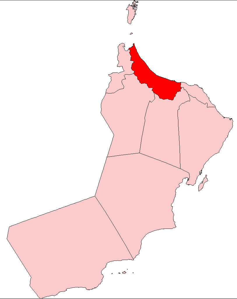
Map of al-Batina region, Oman |
| ⧼wm-license-information-date⧽ | 2010-10-27 16:47 (UTC) |
| ⧼wm-license-information-source⧽ | |
| ⧼wm-license-information-author⧽ |
|
| [This is a retouched picture, which means that it has been digitally altered from its original version. Modifications: showing the current borders of the provinces of Oman, including al-Buraymi. The original can be viewed here: Oman_Al_Buraimi.png. Modifications made by Mathae.] Error: {{Lang}}: text has italic markup (help)
|
قالب:Original upload log
This image is a derivative work of the following images:
- File:Oman_Al_Buraimi.png licensed with PD-self
- 2009-01-11T08:59:14Z Hanhil 813x1027 (28611 Bytes) {{Information |Description=Map of al-Buraimi, OMan |Source= eigen werk / self-made, based on [[:File:Oman admin divisions.png]] |Date= |Author= ~~~~, based on work by [[User:Rarelibra|Rarelibra]] |other_versions= }} [[Categor
تاريخ الملف
اضغط على زمن/تاريخ لرؤية الملف كما بدا في هذا الزمن.
| زمن/تاريخ | صورة مصغرة | الأبعاد | مستخدم | تعليق | |
|---|---|---|---|---|---|
| حالي | ★ مراجعة معتمدة 09:19، 15 يناير 2024 | | 813 × 1٬027 (28 كيلوبايت) | Pastakhov (نقاش | مساهمات) | Upload https://upload.wikimedia.org/wikipedia/commons/1/11/Oman_Al_Batinah_%282006_borders%29.PNG |
لا يمكنك استبدال هذا الملف.
وصلات
لا يوجد صفحات تصل لهذه الصورة.
.PNG&oldid=3878250)