ملف:Ogi SIC down lines ramp with prefectural road.jpg
حجم هذه المعاينة: 800 × 533 بكسل. البعدان الآخران: 2٬560 × 1٬707 بكسل | 5٬400 × 3٬600 بكسل.
الملف الأصلي (5٬400 × 3٬600 بكسل حجم الملف: 10٫7 ميجابايت، نوع MIME: image/jpeg)
وصف قصير
| ⧼wm-license-information-description⧽ |
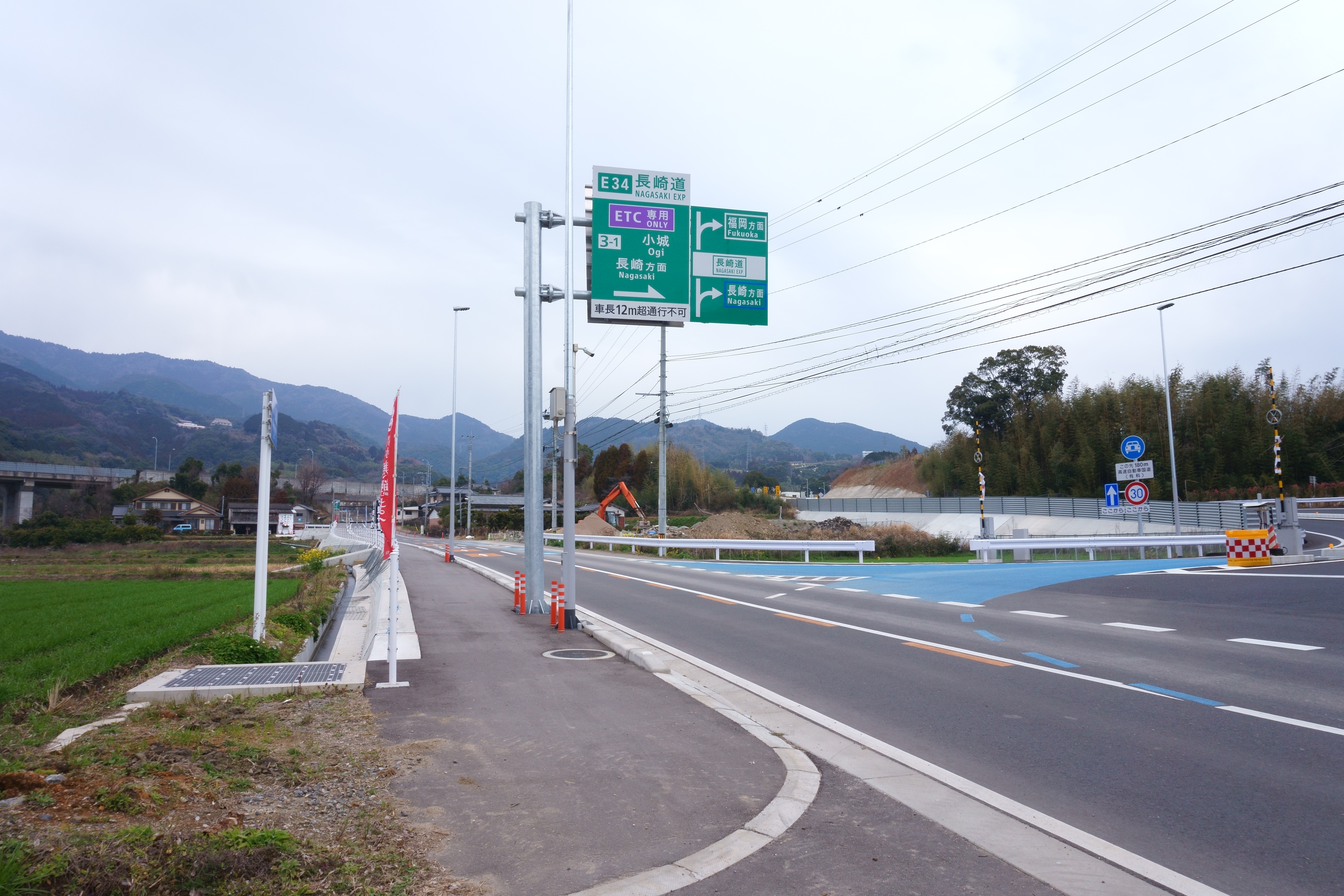
(Japanese) English: Intersection of prefectural road and an access ramp of Ogi Smart Interchange in down lines of Nagasaki Expressway.
|
| ⧼wm-license-information-date⧽ | 2019, {{time}} – invalid date format 48 (help) |
| ⧼wm-license-information-source⧽ | ⧼Wm-license-own-work⧽ |
| ⧼wm-license-information-author⧽ | Peka |
33°18′30″N 130°12′27″E / 33.30845°N 130.20745°E
ترخيص
|
تاريخ الملف
اضغط على زمن/تاريخ لرؤية الملف كما بدا في هذا الزمن.
| زمن/تاريخ | صورة مصغرة | الأبعاد | مستخدم | تعليق | |
|---|---|---|---|---|---|
| حالي | ★ مراجعة معتمدة 15:57، 13 أكتوبر 2023 | | 5٬400 × 3٬600 (10٫7 ميجابايت) | Pastakhov (نقاش | مساهمات) | Upload https://upload.wikimedia.org/wikipedia/commons/3/3e/Ogi_SIC_down_lines_ramp_with_prefectural_road.jpg |
لا يمكنك استبدال هذا الملف.
وصلات
لا يوجد صفحات تصل لهذه الصورة.