ملف:Norway Counties Vestfold Position.svg

حجم معاينة PNG لذلك الملف ذي الامتداد SVG: 562 × 600 بكسل. البعد الآخر: 1٬918 × 2٬048 بكسل.
الملف الأصلي (ملف SVG، أبعاده 740 × 790 بكسل، حجم الملف: 67 كيلوبايت)
| ⧼wm-license-information-description⧽ |
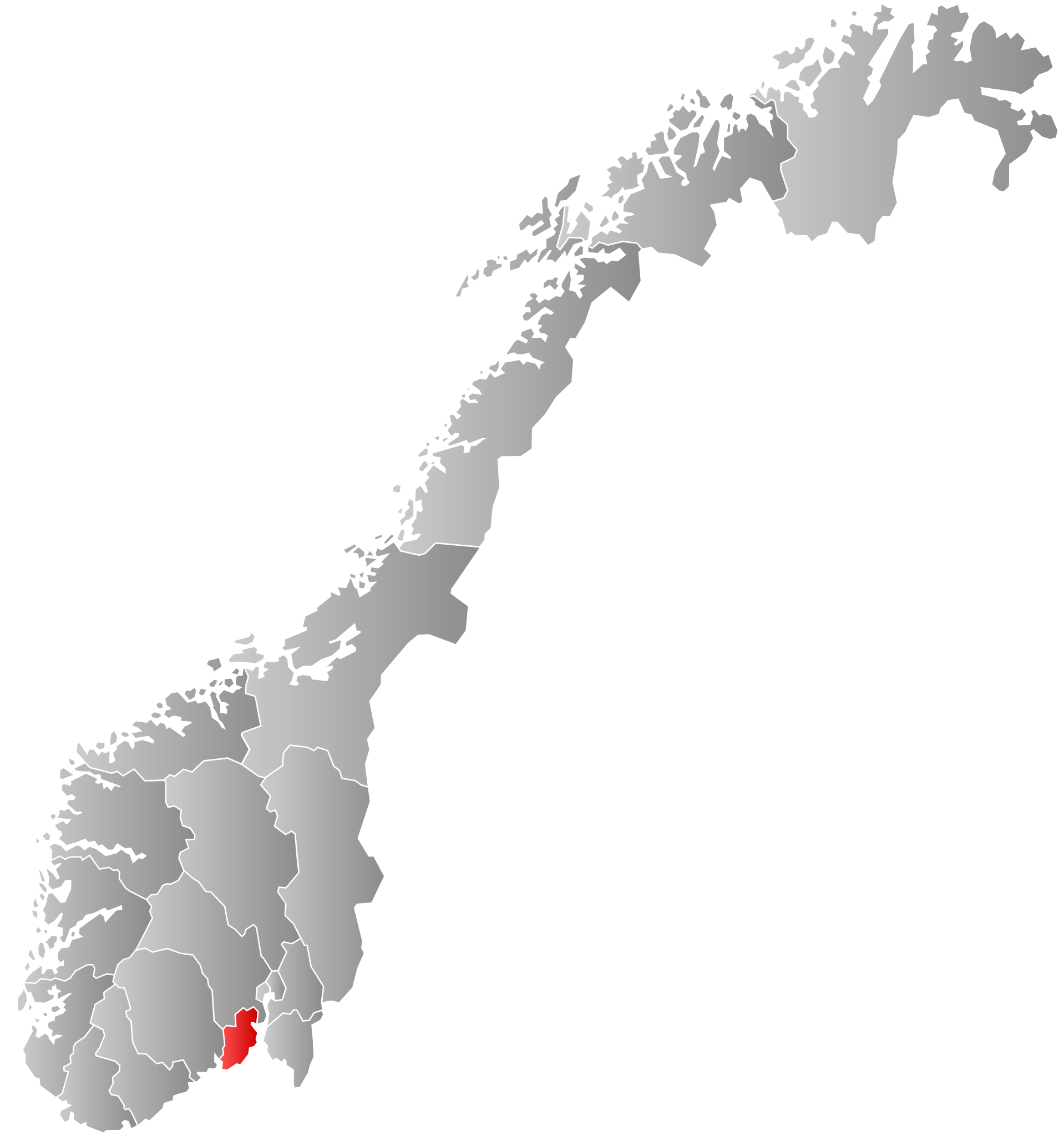
Autogenerated locator map of norwegian county as named in filename. Corrected Telemark. |
| ⧼wm-license-information-date⧽ | 2007-09-21, 2008-07-16 |
| ⧼wm-license-information-source⧽ | Based on Image:Norway counties blank.svg |
| ⧼wm-license-information-author⧽ | Marmelad, ZorroIII |
| ⧼wm-license-information-permission⧽ (⧼wm-license-information-permission-reusing-text⧽) |
Own work, share alike, attribution required (Creative Commons CC-BY-SA-2.5) |
تاريخ الملف
اضغط على زمن/تاريخ لرؤية الملف كما بدا في هذا الزمن.
| زمن/تاريخ | صورة مصغرة | الأبعاد | مستخدم | تعليق | |
|---|---|---|---|---|---|
| حالي | ★ مراجعة معتمدة 06:09، 12 نوفمبر 2023 | | 740 × 790 (67 كيلوبايت) | Pastakhov (نقاش | مساهمات) | Upload https://upload.wikimedia.org/wikipedia/commons/b/b2/Norway_Counties_Vestfold_Position.svg |
لا يمكنك استبدال هذا الملف.
وصلات
لا يوجد صفحات تصل لهذه الصورة.