ملف:Northeast Ohio.png
حجم هذه المعاينة: 551 × 599 بكسل.
الملف الأصلي (800 × 870 بكسل حجم الملف: 159 كيلوبايت، نوع MIME: image/png)
وصف قصير
{{Information
|description=
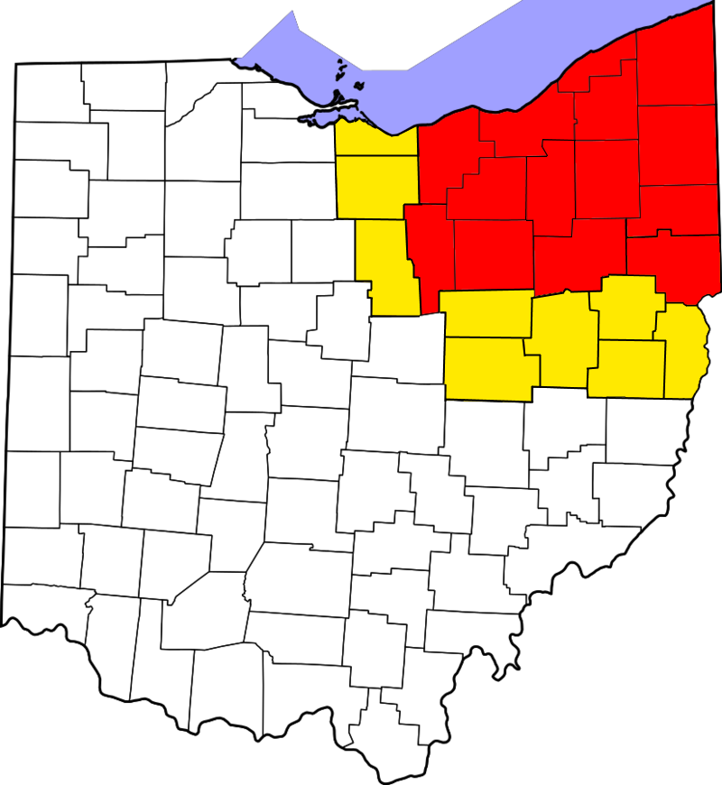
English: This is a locator map showing counties in Northeast Ohio. Specific areas of the Northeastern Region of Ohio are highlighted in red, with areas sometimes included in the region on other lists being highlighted in yellow.
ترخيص
|
تاريخ الملف
اضغط على زمن/تاريخ لرؤية الملف كما بدا في هذا الزمن.
| زمن/تاريخ | صورة مصغرة | الأبعاد | مستخدم | تعليق | |
|---|---|---|---|---|---|
| حالي | ★ مراجعة معتمدة 15:25، 25 ديسمبر 2023 | | 800 × 870 (159 كيلوبايت) | Pastakhov (نقاش | مساهمات) | Upload https://upload.wikimedia.org/wikipedia/commons/6/6c/Northeast_Ohio.png |
لا يمكنك استبدال هذا الملف.
وصلات
لا يوجد صفحات تصل لهذه الصورة.