ملف:Njmap-0254.png

حجم هذه المعاينة: 458 × 599 بكسل. البعد الآخر: 550 × 719 بكسل.
الملف الأصلي (550 × 719 بكسل حجم الملف: 13 كيلوبايت، نوع MIME: image/png)
وصف قصير
| ⧼wm-license-information-description⧽ |
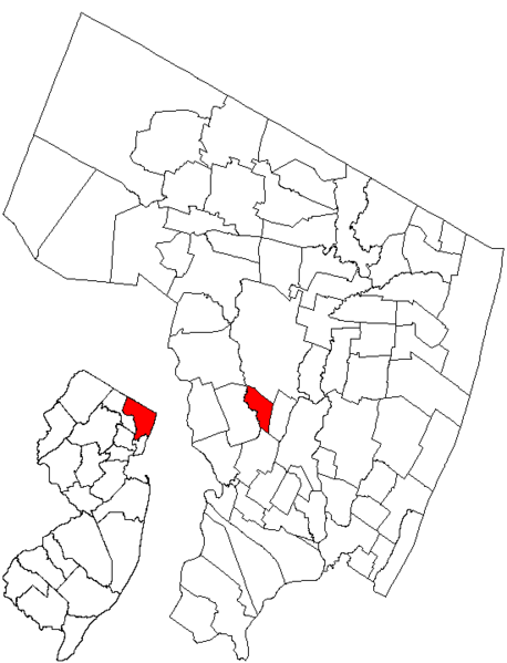
English: Map showing Rochelle Park within Bergen County, NJ.
|
| ⧼wm-license-information-date⧽ | قالب:Original upload date |
| ⧼wm-license-information-source⧽ | Created by Charles O'Reilly from public-domain images at the State of New Jersey Web site. |
| ⧼wm-license-information-author⧽ | قالب:User at project |
ترخيص
|
|
This image is ineligible for copyright and therefore is in the public domain, because it consists entirely of information that is common property and contains no original authorship. |
قالب:Original upload log
قالب:Transferred from قالب:Original description
- 2005-01-09 23:22 CharlieZeb 550×719× (13014 bytes) Map showing Rochelle Park within Bergen County, NJ. Created by Charles O'Reilly from public-domain images at the State of New Jersey Web site.
تاريخ الملف
اضغط على زمن/تاريخ لرؤية الملف كما بدا في هذا الزمن.
| زمن/تاريخ | صورة مصغرة | الأبعاد | مستخدم | تعليق | |
|---|---|---|---|---|---|
| حالي | ★ مراجعة معتمدة 15:06، 21 أكتوبر 2023 | | 550 × 719 (13 كيلوبايت) | Pastakhov (نقاش | مساهمات) | Upload https://upload.wikimedia.org/wikipedia/commons/8/87/Njmap-0254.png |
لا يمكنك استبدال هذا الملف.
وصلات
لا يوجد صفحات تصل لهذه الصورة.