ملف:Niger France Locator.svg

حجم معاينة PNG لذلك الملف ذي الامتداد SVG: 223 × 258 بكسل. البعد الآخر: 1٬770 × 2٬048 بكسل.
الملف الأصلي (ملف SVG، أبعاده 223 × 258 بكسل، حجم الملف: 228 كيلوبايت)
وصف قصير
| ⧼wm-license-information-description⧽ |
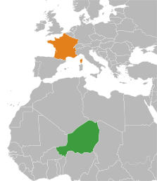
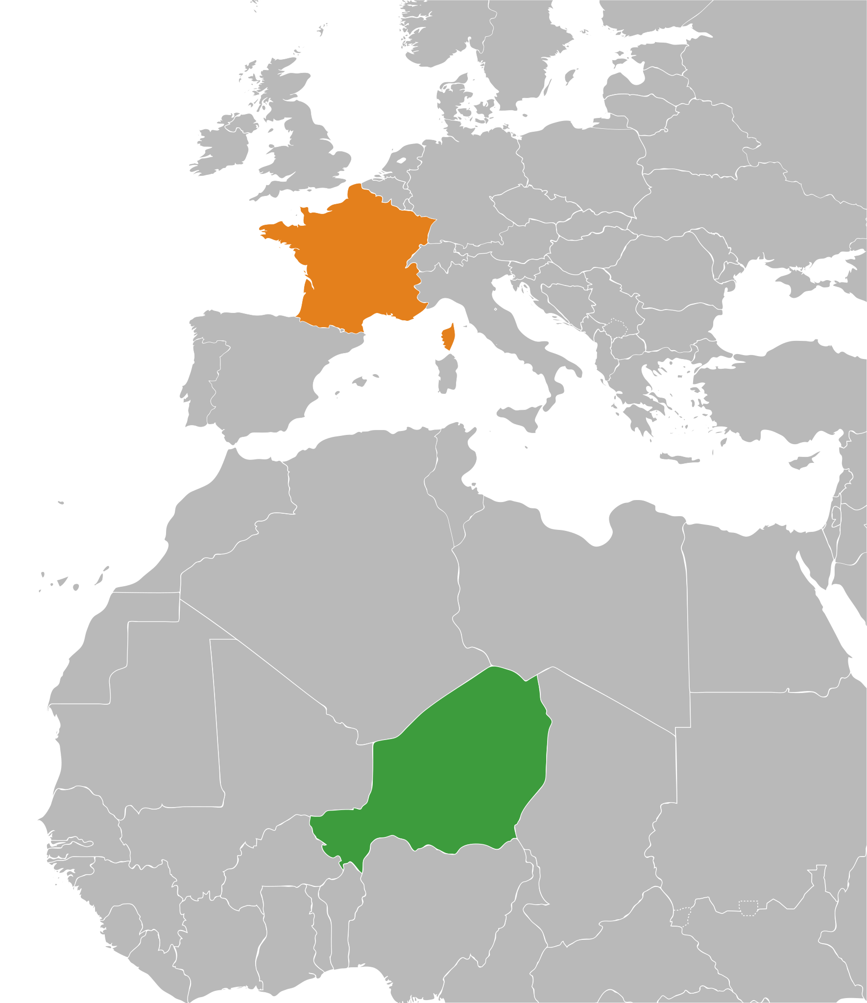
Niger
France
|
| ⧼wm-license-information-date⧽ | 2012-12-23 19:09 (UTC) |
| ⧼wm-license-information-source⧽ | قالب:Derived from |
| ⧼wm-license-information-author⧽ |
|
| ⧼wm-license-information-other-versions⧽ | |
| SVG | قالب:ValidSVG |
| Atelier graphique | قالب:Atelier graphique carte |
ترخيص
قالب:Original upload log
This image is a derivative work of the following images:
- File:BlankMap-World6,_compact.svg licensed with PD-self
- 2012-08-25T19:32:02Z Kpengboy 940x415 (1518021 Bytes) Reverted to version as of 16:35, 13 February 2012 (there's a reason the code wasn't "optimised". re-add transparency if you think it's better)
- 2012-04-17T20:57:52Z Fred the Oyster 940x415 (837212 Bytes) Corrected my faux pas with the upper and lower margins
- 2012-04-17T20:13:20Z Fred the Oyster 940x490 (837200 Bytes) Optimise code, re-introduce transparency
- 2012-02-13T16:35:10Z Smurfy 940x415 (1518021 Bytes) South Sudan assigned proper country code ss
- 2011-07-21T10:51:07Z EmilJ 940x415 (1518021 Bytes) fix position of Marshall Islands, per [[File talk:BlankMap-World6.svg#Marshall Islands]]
- 2011-07-09T19:55:11Z Smurfy 940x415 (1517991 Bytes) Reverted to version as of 17:18, 9 July 2011
- 2011-07-09T19:54:56Z Smurfy 940x415 (1517991 Bytes) No changes, just attempting to make thumbnails update
- 2011-07-09T17:18:56Z Smurfy 940x415 (1517991 Bytes) Added South Sudan with code "qx" as per BlankMap-World6.svg
- 2010-05-24T23:02:45Z Saftorangen 940x415 (1515385 Bytes) To match the original map: "Grey move : B9B9B9 to E0E0E0 according to wikipedia convention." See the [[:commons:File_talk:BlankMap-World6.svg#Color_update_need|file talk of BlankMap-World6.svg]].
- 2009-10-12T06:40:51Z Fibonacci 940x415 (1515385 Bytes) Same fixes as for the full map.
- 2008-12-02T18:21:18Z Lokal Profil 940x415 (1518276 Bytes) Reverted to version as of 14:51, 13 June 2008, new image has non of the complexity (i.e. colouring abilities etc.) of the old
- 2008-12-02T17:29:39Z Harbin 1326x601 (176022 Bytes)
- 2008-12-02T17:26:08Z Harbin 1425x625 (189017 Bytes)
- 2008-06-13T14:51:25Z Lokal Profil 940x415 (1518276 Bytes) Syncing with [[:Image:BlankMap-World6.svg]] version (01:30, March 29, 2008). Sadly enough the validator does not seem to like rdf element of the metadata although it should work acording to http://www.w3schools.com/rdf/rdf_ma
- 2008-02-08T20:55:35Z CarolSpears 940x415 (1528750 Bytes) validated, maybe
- 2007-12-14T19:51:17Z Lokal Profil 940x415 (1529675 Bytes) Readded an ocean object but this one is square instead of the original elliptic one
- 2007-12-14T19:19:56Z Lokal Profil 940x415 (1529845 Bytes) {{Information |Description=Detailed SVG map with grouping enabled to connect all non-contiguous parts of a country's territory for easy colouring. Smaller countries can also be represented by larger circles to show their data
تاريخ الملف
اضغط على زمن/تاريخ لرؤية الملف كما بدا في هذا الزمن.
| زمن/تاريخ | صورة مصغرة | الأبعاد | مستخدم | تعليق | |
|---|---|---|---|---|---|
| حالي | ★ مراجعة معتمدة 09:46، 8 ديسمبر 2023 | | 223 × 258 (228 كيلوبايت) | Pastakhov (نقاش | مساهمات) | Upload https://upload.wikimedia.org/wikipedia/commons/2/24/Niger_France_Locator.svg |
لا يمكنك استبدال هذا الملف.
وصلات
لا يوجد صفحات تصل لهذه الصورة.