ملف:Neuruppin – 360° Panorama von oben.jpg

حجم هذه المعاينة: 800 × 400 بكسل. البعدان الآخران: 2٬560 × 1٬280 بكسل | 6٬144 × 3٬072 بكسل.
الملف الأصلي (6٬144 × 3٬072 بكسل حجم الملف: 3٫58 ميجابايت، نوع MIME: image/jpeg)
وصف قصير
| ⧼wm-license-information-description⧽ |
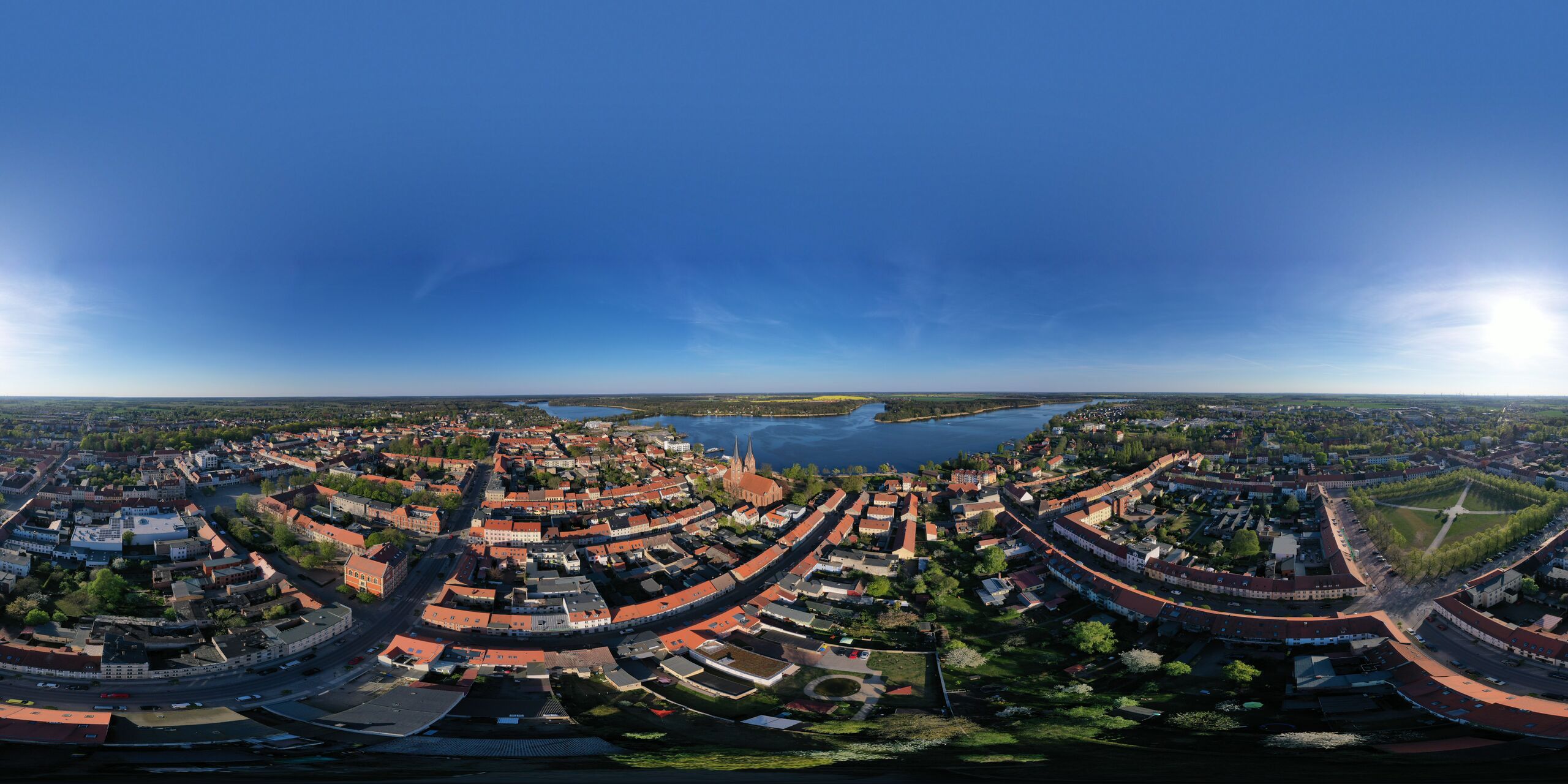
Deutsch: Das 360°-Panorama aus der Luft zeigt das Zentrum der Brandenburgischen Stadt Neuruppin.
Technisches: Das Panorama wurde aus 24 Einzelbildern zusammengesetzt und der obere Teil des Himmels von der Software künstlich mit Blau aufgefüllt.
|
| ⧼wm-license-information-date⧽ | 2019, {{time}} – invalid date format 22 (help) |
| ⧼wm-license-information-source⧽ | ⧼Wm-license-own-work⧽ |
| ⧼wm-license-information-author⧽ | Maximilian Schönherr |
قالب:Pano360 52°55′22″N 12°48′23″E / 52.922703°N 12.806408°E
ترخيص
|
تاريخ الملف
اضغط على زمن/تاريخ لرؤية الملف كما بدا في هذا الزمن.
| زمن/تاريخ | صورة مصغرة | الأبعاد | مستخدم | تعليق | |
|---|---|---|---|---|---|
| حالي | ★ مراجعة معتمدة 05:22، 15 ديسمبر 2023 | | 6٬144 × 3٬072 (3٫58 ميجابايت) | Pastakhov (نقاش | مساهمات) | Upload https://upload.wikimedia.org/wikipedia/commons/5/5b/Neuruppin_%E2%80%93_360%C2%B0_Panorama_von_oben.jpg |
لا يمكنك استبدال هذا الملف.
وصلات
لا يوجد صفحات تصل لهذه الصورة.