ملف:Netherlands, Kagerplassen, Zijp (2).JPG
حجم هذه المعاينة: 800 × 531 بكسل. البعد الآخر: 2٬144 × 1٬424 بكسل.
الملف الأصلي (2٬144 × 1٬424 بكسل حجم الملف: 815 كيلوبايت، نوع MIME: image/jpeg)
وصف قصير
| ⧼wm-license-information-description⧽ |
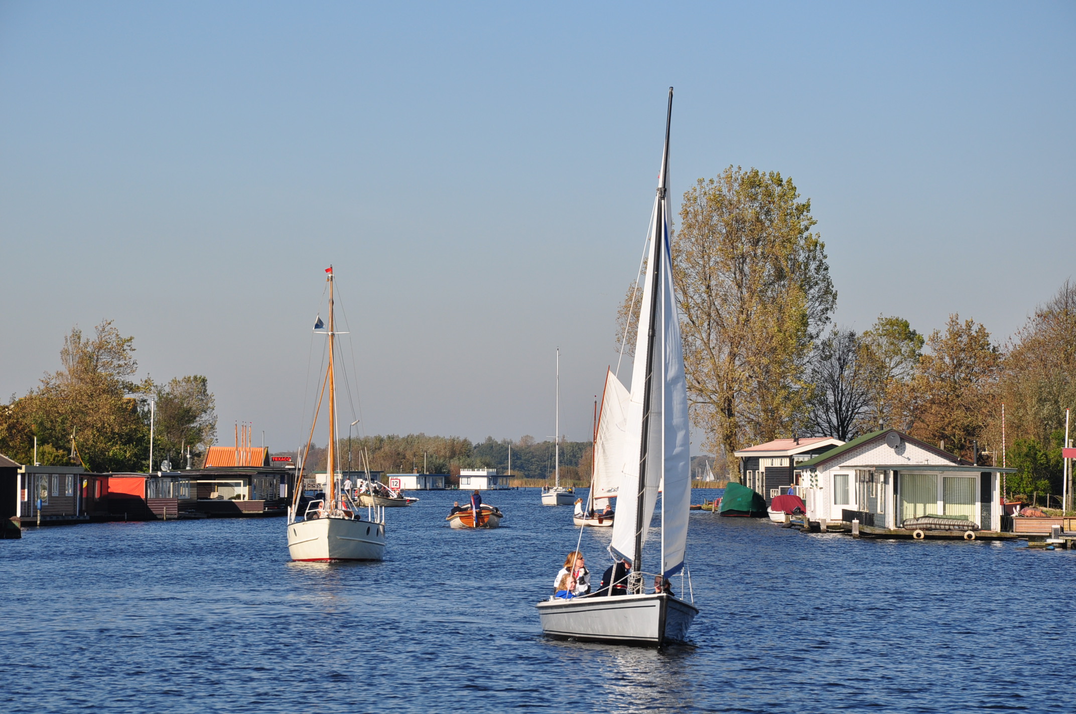
(Dutch) English: The river Zijp in the municipality of Teylingen (Province South Holland, Netherlands) is only 1 km long and forms the connection between two of the Kaag lakes: the Vennemeer and Zweiland. The picture shows the northern part of the Zijp, with houseboats on both shores, looking towards the Zijp's mouth in Kaag lake 'Zweiland'.
|
| ⧼wm-license-information-date⧽ | 2011 |
| ⧼wm-license-information-source⧽ | ⧼Wm-license-own-work⧽ |
| ⧼wm-license-information-author⧽ | Vincent van Zeijst |
Looking due North from: 52°11′35.87″N 4°32′10.84″E / 52.1932972°N 4.5363444°E
.JPG¶ms=52_11_35.87_N_4_32_10.84_E_region:NL)
ترخيص
|
تاريخ الملف
اضغط على زمن/تاريخ لرؤية الملف كما بدا في هذا الزمن.
| زمن/تاريخ | صورة مصغرة | الأبعاد | مستخدم | تعليق | |
|---|---|---|---|---|---|
| حالي | ★ مراجعة معتمدة 12:22، 4 نوفمبر 2023 | | 2٬144 × 1٬424 (815 كيلوبايت) | Pastakhov (نقاش | مساهمات) | Upload https://upload.wikimedia.org/wikipedia/commons/e/ed/Netherlands%2C_Kagerplassen%2C_Zijp_%282%29.JPG |
لا يمكنك استبدال هذا الملف.
وصلات
لا يوجد صفحات تصل لهذه الصورة.
.JPG&oldid=3367218)