ملف:National Highway No. 39, Khangabok.JPG
حجم هذه المعاينة: 800 × 451 بكسل. البعد الآخر: 1٬600 × 901 بكسل.
الملف الأصلي (1٬600 × 901 بكسل حجم الملف: 326 كيلوبايت، نوع MIME: image/jpeg)
وصف قصير
| ⧼wm-license-information-description⧽ |
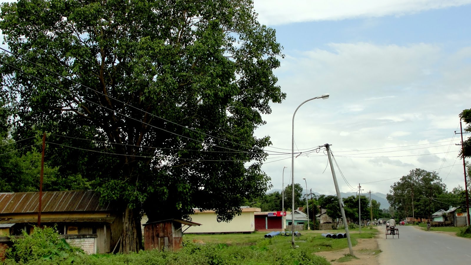
English: The National Highway Number 39 (New NH 102) which connects Numaligarh, Assam to the end of Indo-Myanmar Border town Moreh runs through Khangabok.
|
| ⧼wm-license-information-date⧽ | 2012 |
| ⧼wm-license-information-source⧽ | ⧼Wm-license-own-work⧽ |
| ⧼wm-license-information-author⧽ | Subodhthok |
ترخيص
|
تاريخ الملف
اضغط على زمن/تاريخ لرؤية الملف كما بدا في هذا الزمن.
| زمن/تاريخ | صورة مصغرة | الأبعاد | مستخدم | تعليق | |
|---|---|---|---|---|---|
| حالي | ★ مراجعة معتمدة 16:21، 14 نوفمبر 2023 | | 1٬600 × 901 (326 كيلوبايت) | Pastakhov (نقاش | مساهمات) | Upload https://upload.wikimedia.org/wikipedia/commons/5/5e/National_Highway_No._39%2C_Khangabok.JPG |
لا يمكنك استبدال هذا الملف.
وصلات
لا يوجد صفحات تصل لهذه الصورة.