ملف:Muskingum County Ohio Zanesville highlighted.png
حجم هذه المعاينة: 800 × 400 بكسل.
الملف الأصلي (1٬200 × 600 بكسل حجم الملف: 41 كيلوبايت، نوع MIME: image/png)
وصف قصير
| ⧼wm-license-information-description⧽ |
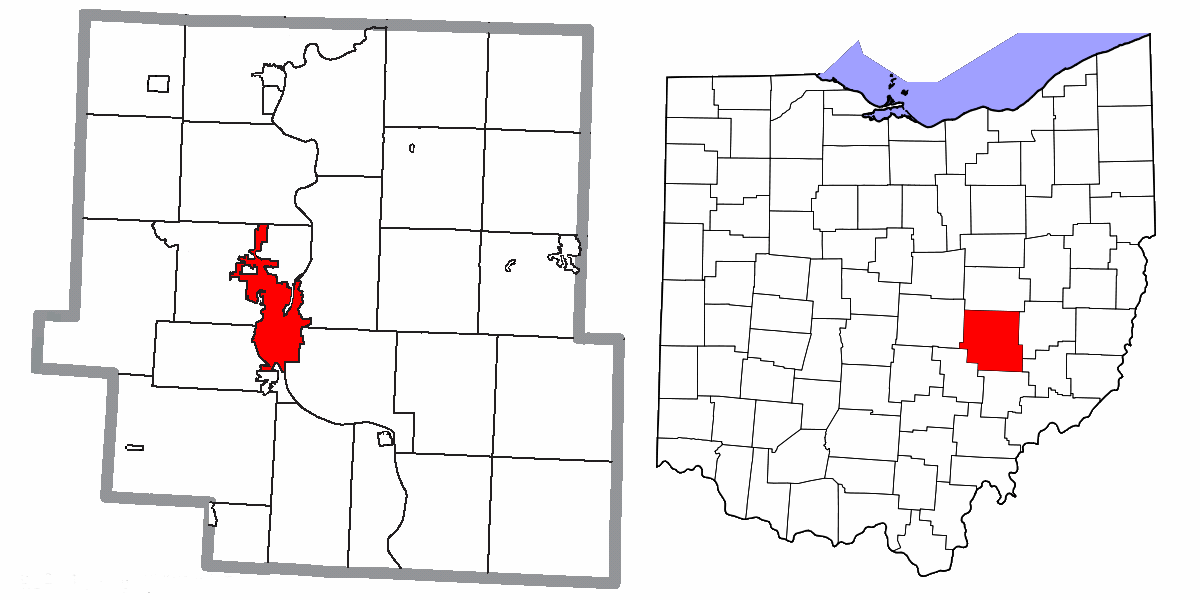
Map highlighting City of Zanesville, Muskingum County, Ohio, United States. |
| ⧼wm-license-information-date⧽ | 2015 |
| ⧼wm-license-information-source⧽ | I, Yassie, merged these two files into one. |
| ⧼wm-license-information-author⧽ | Ruhrfisch, Nyttend, Dbenbenn, and Yassie |
| ⧼wm-license-information-permission⧽ (⧼wm-license-information-permission-reusing-text⧽) |
File:Map of Muskingum County Ohio Highlighting Zanesville City.png has been released under CC-BY-SA-3.0 by Nyttend. File:Map of Ohio highlighting Muskingum County.svg has been released into public domain by Dbenbenn. Thus, I hereby release this merged work under CC-BY-SA-3.0 license. |
ترخيص
|
|
هذا الملفُّ مُرخَّص بموجب رخصة المشاع الإبداعي نسبة المُصنَّف إِلى مؤلفه - المشاركة بالمثل 3.0 العامة. |
تاريخ الملف
اضغط على زمن/تاريخ لرؤية الملف كما بدا في هذا الزمن.
| زمن/تاريخ | صورة مصغرة | الأبعاد | مستخدم | تعليق | |
|---|---|---|---|---|---|
| حالي | ★ مراجعة معتمدة 01:18، 3 ديسمبر 2023 | | 1٬200 × 600 (41 كيلوبايت) | Pastakhov (نقاش | مساهمات) | Upload https://upload.wikimedia.org/wikipedia/commons/e/e9/Muskingum_County_Ohio_Zanesville_highlighted.png |
لا يمكنك استبدال هذا الملف.
وصلات
لا يوجد صفحات تصل لهذه الصورة.