ملف:Mourne country near Spelga Dam - geograph.org.uk - 1141416.jpg
لا توجد دقة أعلى متوفرة.
Mourne_country_near_Spelga_Dam_-_geograph.org.uk_-_1141416.jpg (640 × 412 بكسل حجم الملف: 101 كيلوبايت، نوع MIME: image/jpeg)
وصف قصير
| ⧼wm-license-information-description⧽ |
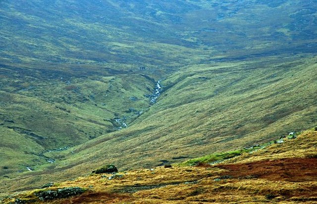
English: Mourne country near Spelga Dam The slopes of Slieve Loughshannagh and Ott Mountain with a stream in spate after some recent heavy rain.
|
| ⧼wm-license-information-date⧽ | 2009 |
| ⧼wm-license-information-source⧽ | From geograph.org.uk |
| ⧼wm-license-information-author⧽ | Albert Bridge |
| ⧼wm-license-cc-attribution⧽ (قالب:I18n/Credit line) |
Albert Bridge / Mourne country near Spelga Dam / |
54°11′01″N 6°02′30″W / 54.18357°N 6.0417°W قالب:Object location
_heading:112)
ترخيص
تاريخ الملف
اضغط على زمن/تاريخ لرؤية الملف كما بدا في هذا الزمن.
| زمن/تاريخ | صورة مصغرة | الأبعاد | مستخدم | تعليق | |
|---|---|---|---|---|---|
| حالي | ★ مراجعة معتمدة 20:06، 1 ديسمبر 2023 | | 640 × 412 (101 كيلوبايت) | Pastakhov (نقاش | مساهمات) | Upload https://upload.wikimedia.org/wikipedia/commons/d/df/Mourne_country_near_Spelga_Dam_-_geograph.org.uk_-_1141416.jpg |
لا يمكنك استبدال هذا الملف.
وصلات
لا يوجد صفحات تصل لهذه الصورة.