ملف:Montclar-sur-Gervanne depuis la crête de Peylong.jpg
حجم هذه المعاينة: 800 × 450 بكسل. البعدان الآخران: 2٬560 × 1٬440 بكسل | 3٬840 × 2٬160 بكسل.
الملف الأصلي (3٬840 × 2٬160 بكسل حجم الملف: 5٫26 ميجابايت، نوع MIME: image/jpeg)
وصف قصير
| ⧼wm-license-information-description⧽ |
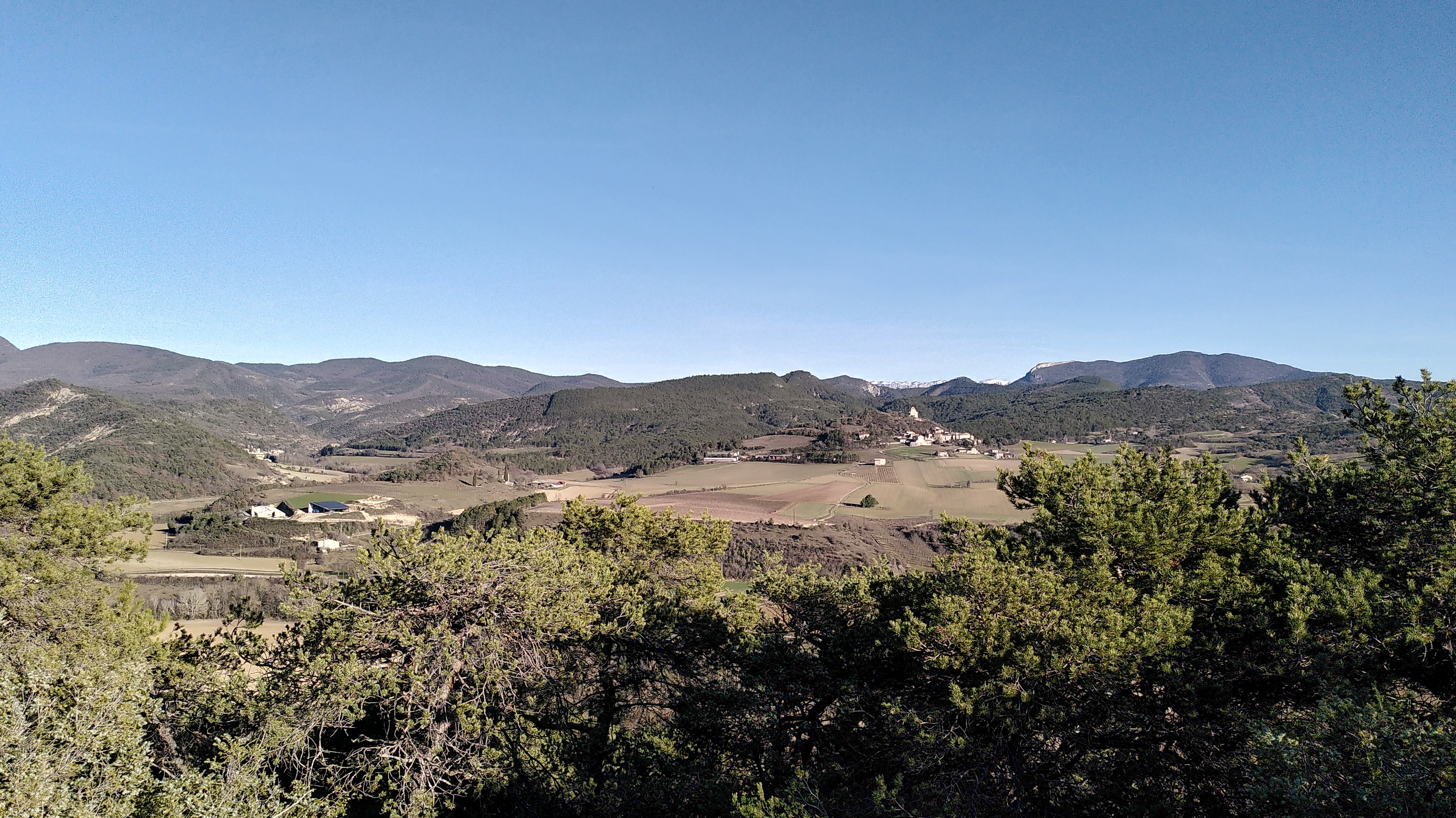
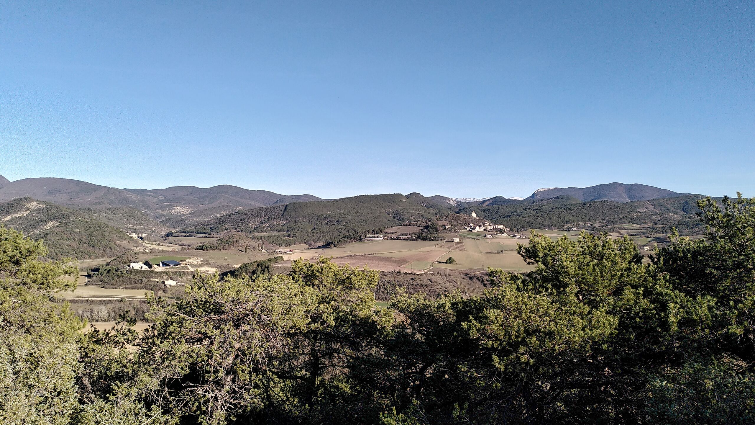
Français : Village de Montclar-sur-Gervanne photographié depuis la crête de Peylong. On peut voir Vaugelas à gauche.
|
| ⧼wm-license-information-date⧽ | 2022, {{time}} – invalid date format 06 (help) |
| ⧼wm-license-information-source⧽ | ⧼Wm-license-own-work⧽ |
| ⧼wm-license-information-author⧽ | Noé |
44°44′53″N 5°07′19″E / 44.748°N 5.122°E
ترخيص
|
تاريخ الملف
اضغط على زمن/تاريخ لرؤية الملف كما بدا في هذا الزمن.
| زمن/تاريخ | صورة مصغرة | الأبعاد | مستخدم | تعليق | |
|---|---|---|---|---|---|
| حالي | ★ مراجعة معتمدة 22:41، 15 أكتوبر 2023 | | 3٬840 × 2٬160 (5٫26 ميجابايت) | Pastakhov (نقاش | مساهمات) | Upload https://upload.wikimedia.org/wikipedia/commons/f/fe/Montclar-sur-Gervanne_depuis_la_cr%C3%AAte_de_Peylong.jpg |
لا يمكنك استبدال هذا الملف.
وصلات
لا يوجد صفحات تصل لهذه الصورة.