ملف:Mito satellite map.jpg
حجم هذه المعاينة: 423 × 600 بكسل. البعد الآخر: 551 × 781 بكسل.
الملف الأصلي (551 × 781 بكسل حجم الملف: 55 كيلوبايت، نوع MIME: image/jpeg)
| ⧼wm-license-information-description⧽ |
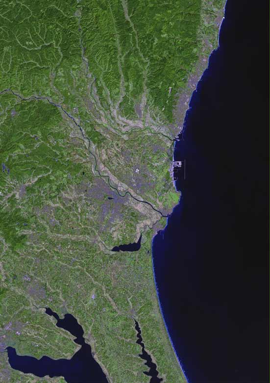
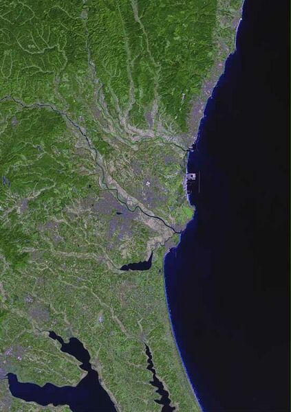
English: Satellite image of Mito, Japan
|
| ⧼wm-license-information-date⧽ | 2006 |
| ⧼wm-license-information-source⧽ | Imagery by NASA and/or the US Geological Survey. Processed by Terra Prints Inc. |
| ⧼wm-license-information-author⧽ | Terra Prints Inc. |
| ⧼wm-license-information-permission⧽ (⧼wm-license-information-permission-reusing-text⧽) |
تاريخ الملف
اضغط على زمن/تاريخ لرؤية الملف كما بدا في هذا الزمن.
| زمن/تاريخ | صورة مصغرة | الأبعاد | مستخدم | تعليق | |
|---|---|---|---|---|---|
| حالي | ★ مراجعة معتمدة 15:49، 9 نوفمبر 2023 | | 551 × 781 (55 كيلوبايت) | Pastakhov (نقاش | مساهمات) | Upload https://upload.wikimedia.org/wikipedia/commons/0/07/Mito_satellite_map.jpg |
لا يمكنك استبدال هذا الملف.
وصلات
لا يوجد صفحات تصل لهذه الصورة.