ملف:Mexico Tabasco location map.svg

حجم معاينة PNG لذلك الملف ذي الامتداد SVG: 800 × 477 بكسل. البعد الآخر: 2٬560 × 1٬526 بكسل.
الملف الأصلي (ملف SVG، أبعاده 1٬050 × 626 بكسل، حجم الملف: 248 كيلوبايت)
| ⧼wm-license-information-description⧽ |
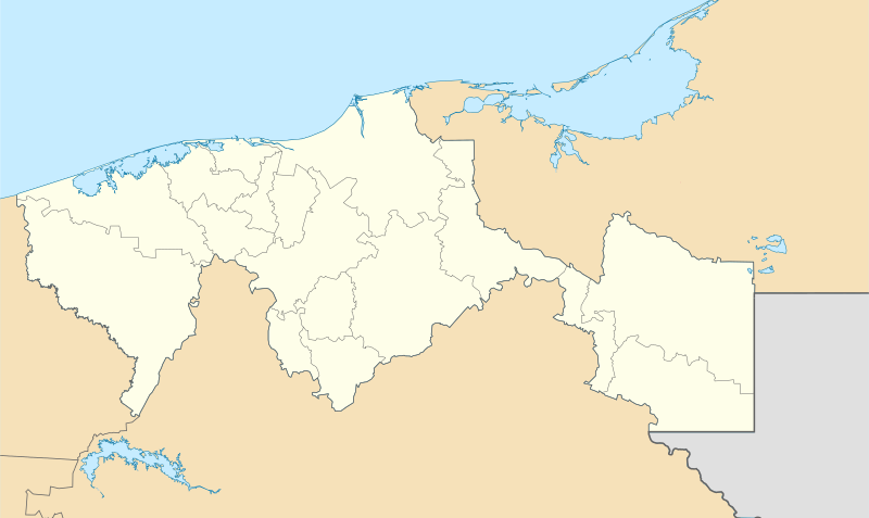
English: Location Map of Tabasco
Equirectangular projection, Geographic limits of the map:
Deutsch: Positionskarte von Tabasco
Quadratische Plattkarte, Geographische Begrenzung der Karte:
|
||
| ⧼wm-license-information-date⧽ | 2009 | ||
| ⧼wm-license-information-source⧽ | OpenStreetMap.org
|
||
| ⧼wm-license-information-author⧽ | Spischot |
ترخيص
|

تاريخ الملف
اضغط على زمن/تاريخ لرؤية الملف كما بدا في هذا الزمن.
| زمن/تاريخ | صورة مصغرة | الأبعاد | مستخدم | تعليق | |
|---|---|---|---|---|---|
| حالي | ★ مراجعة معتمدة 19:28، 10 نوفمبر 2023 | | 1٬050 × 626 (248 كيلوبايت) | Pastakhov (نقاش | مساهمات) | Upload https://upload.wikimedia.org/wikipedia/commons/2/2a/Mexico_Tabasco_location_map.svg |
لا يمكنك استبدال هذا الملف.
وصلات
الصفحات التالية تحتوي على وصلة لهذه الصورة: