ملف:Mexico Colima location map.svg

حجم معاينة PNG لذلك الملف ذي الامتداد SVG: 512 × 389 بكسل. البعد الآخر: 2٬560 × 1٬945 بكسل.
الملف الأصلي (ملف SVG، أبعاده 512 × 389 بكسل، حجم الملف: 755 كيلوبايت)
| ⧼wm-license-information-description⧽ |
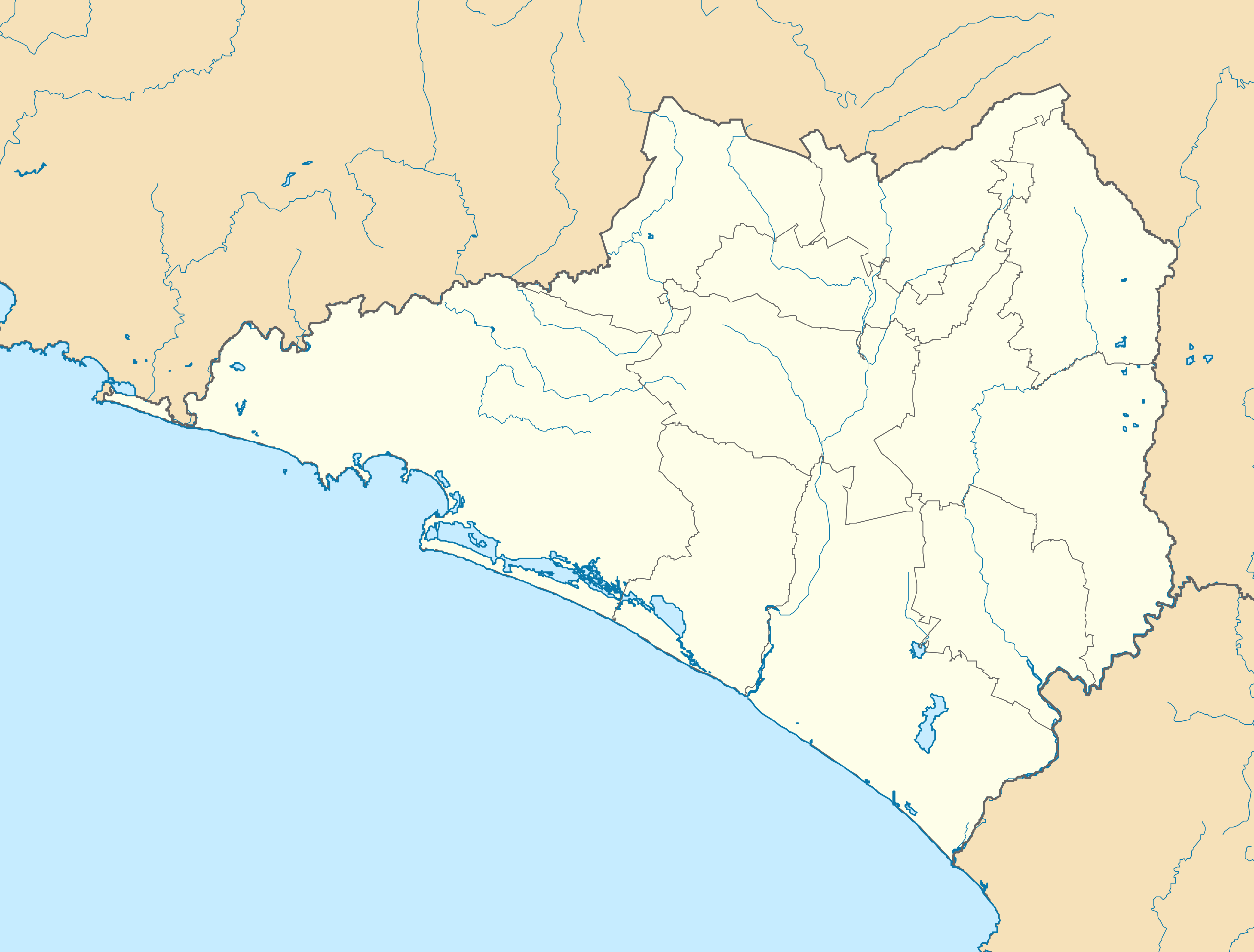
English: Location map of Colima.
EPSG:3857 projection, Geographic limits of the map:
|
| ⧼wm-license-information-date⧽ | 2016 |
| ⧼wm-license-information-source⧽ |
|
| ⧼wm-license-information-author⧽ | Addicted04 |
| [This is a retouched picture, which means that it has been digitally altered from its original version. Modifications: Changed color of other states, small border adjustments, removed black line. The original can be viewed here: Colima_Location_Map.svg. Modifications made by Spischot.] Error: {{Lang}}: text has italic markup (help)
|
|

قالب:Original upload log
This image is a derivative work of the following images:
- File:Colima_Location_Map.svg licensed with Cc-by-sa-3.0, GFDL
- 2009-08-19T23:28:33Z Addicted04 799x664 (120886 Bytes) line on the top
- 2009-08-19T00:37:22Z Addicted04 799x664 (120620 Bytes) {{Information |Description={{es|1=Trabajo propio a partir del mapa de municipios del INEGI y costas tomadas de OpenStreetMap.org (bajo licencia Creative Commons Attribution-Share Alike 2.0 Generic). Límites del mapa: * Oest
تاريخ الملف
اضغط على زمن/تاريخ لرؤية الملف كما بدا في هذا الزمن.
| زمن/تاريخ | صورة مصغرة | الأبعاد | مستخدم | تعليق | |
|---|---|---|---|---|---|
| حالي | ★ مراجعة معتمدة 05:54، 12 نوفمبر 2023 | | 512 × 389 (755 كيلوبايت) | Pastakhov (نقاش | مساهمات) | Upload https://upload.wikimedia.org/wikipedia/commons/7/7a/Mexico_Colima_location_map.svg |
لا يمكنك استبدال هذا الملف.
وصلات
الصفحات التالية تحتوي على وصلة لهذه الصورة: