ملف:Mexico Chiapas location map.svg

حجم معاينة PNG لذلك الملف ذي الامتداد SVG: 516 × 475 بكسل. البعد الآخر: 2٬225 × 2٬048 بكسل.
الملف الأصلي (ملف SVG، أبعاده 516 × 475 بكسل، حجم الملف: 1٫32 ميجابايت)
وصف قصير
| ⧼wm-license-information-description⧽ |
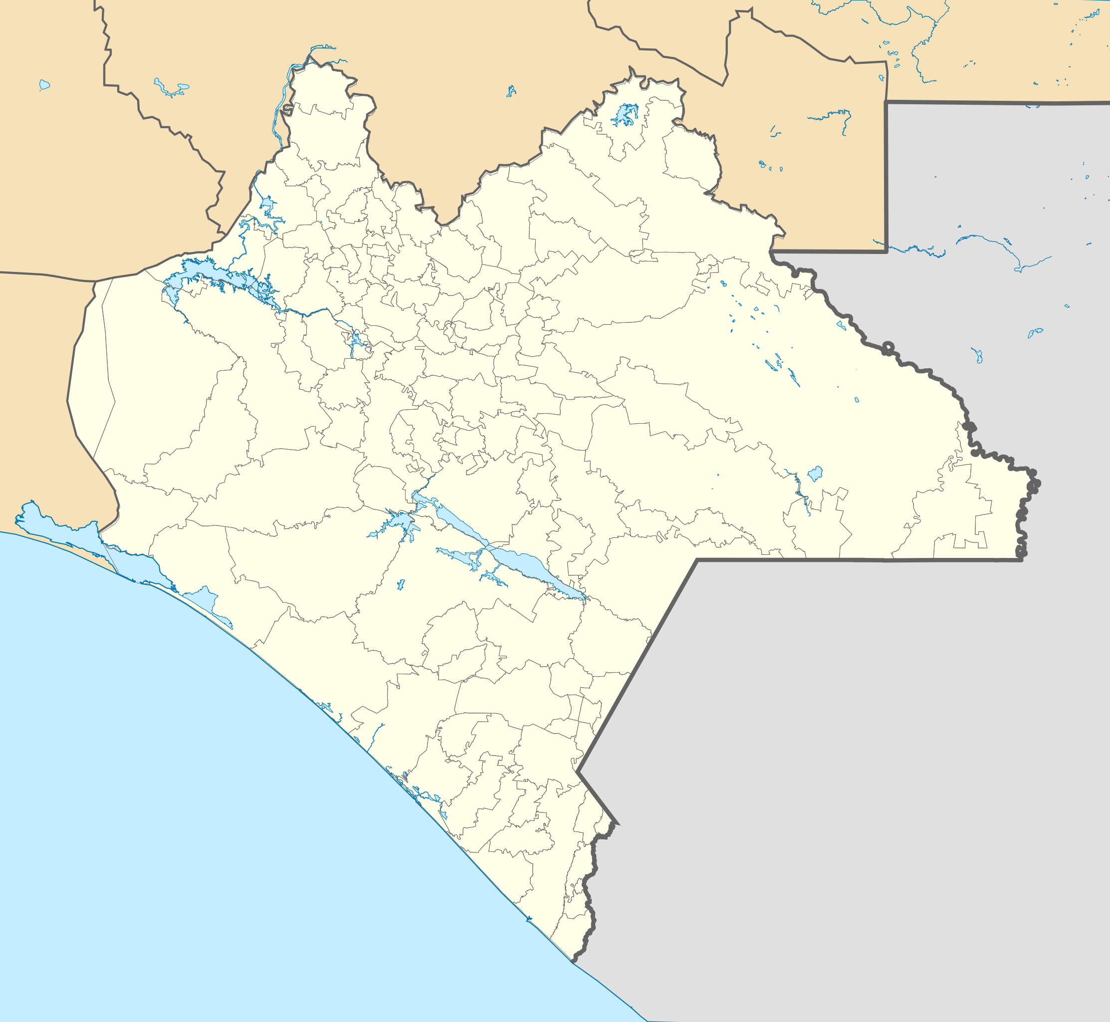
English: Location Map of Chiapas
Equirectangular projection, Geographic limits of the map:
|
| ⧼wm-license-information-date⧽ | 2015 |
| ⧼wm-license-information-source⧽ |
|
| ⧼wm-license-information-author⧽ | Addicted04 |
ترخيص
|
تاريخ الملف
اضغط على زمن/تاريخ لرؤية الملف كما بدا في هذا الزمن.
| زمن/تاريخ | صورة مصغرة | الأبعاد | مستخدم | تعليق | |
|---|---|---|---|---|---|
| حالي | ★ مراجعة معتمدة 12:41، 14 ديسمبر 2023 | | 516 × 475 (1٫32 ميجابايت) | Pastakhov (نقاش | مساهمات) | Upload https://upload.wikimedia.org/wikipedia/commons/1/18/Mexico_Chiapas_location_map.svg |
لا يمكنك استبدال هذا الملف.
وصلات
الصفحات التالية تحتوي على وصلة لهذه الصورة: