ملف:Meilen - Rohrenhab, Uferzone, neolithische und frühbronzezeitliche Seeufersiedlungen in Meilen 2011-08-29 14-41-42.jpg

حجم هذه المعاينة: 800 × 534 بكسل. البعدان الآخران: 2٬560 × 1٬708 بكسل | 3٬997 × 2٬667 بكسل.
الملف الأصلي (3٬997 × 2٬667 بكسل حجم الملف: 2٫26 ميجابايت، نوع MIME: image/jpeg)
وصف قصير
| ⧼wm-license-information-description⧽ |
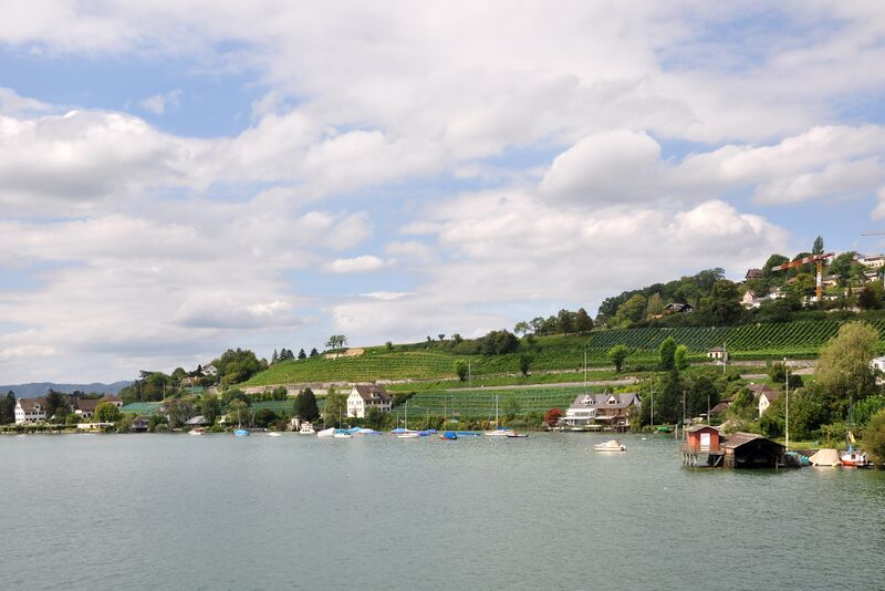
Rohrenhab, Uferzone, neolithische und frühbronzezeitliche Seeufersiedlungen in Meilen ( |
| ⧼wm-license-information-date⧽ | 2011 |
| ⧼wm-license-information-source⧽ | ⧼Wm-license-own-work⧽ |
| ⧼wm-license-information-author⧽ | Roland zh |
| ⧼wm-license-information-other-versions⧽ |
|

47°16′3.816″N 8°38′17.112″E / 47.26772667°N 8.63808667°E
ترخيص
|
تاريخ الملف
اضغط على زمن/تاريخ لرؤية الملف كما بدا في هذا الزمن.
| زمن/تاريخ | صورة مصغرة | الأبعاد | مستخدم | تعليق | |
|---|---|---|---|---|---|
| حالي | ★ مراجعة معتمدة 05:21، 21 أكتوبر 2023 | | 3٬997 × 2٬667 (2٫26 ميجابايت) | Pastakhov (نقاش | مساهمات) | Upload https://upload.wikimedia.org/wikipedia/commons/c/c8/Meilen_-_Rohrenhab%2C_Uferzone%2C_neolithische_und_fr%C3%BChbronzezeitliche_Seeufersiedlungen_in_Meilen_2011-08-29_14-41-42.jpg |
لا يمكنك استبدال هذا الملف.
وصلات
لا يوجد صفحات تصل لهذه الصورة.