ملف:Mbombela Stadium Aerial View.jpg
حجم هذه المعاينة: 800 × 600 بكسل. البعدان الآخران: 2٬560 × 1٬920 بكسل | 4٬000 × 3٬000 بكسل.
الملف الأصلي (4٬000 × 3٬000 بكسل حجم الملف: 1٫99 ميجابايت، نوع MIME: image/jpeg)
وصف قصير
| ⧼wm-license-information-description⧽ |
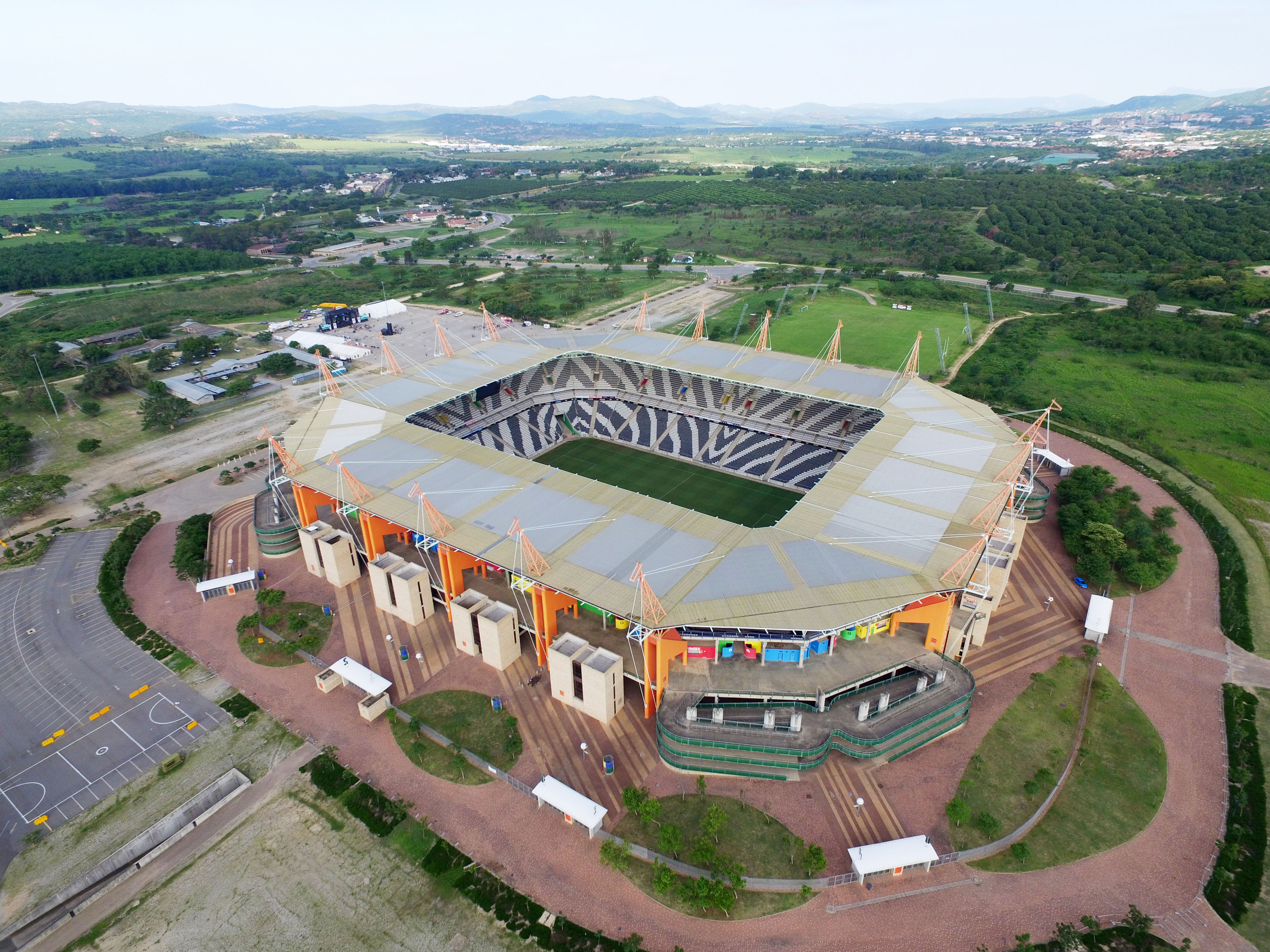
English: Stadium Aerial view with Nelspruit in context
|
| ⧼wm-license-information-date⧽ | 2016, {{time}} – invalid date format 49 (help) |
| ⧼wm-license-information-source⧽ | ⧼Wm-license-own-work⧽ |
| ⧼wm-license-information-author⧽ | Tadpolefarm |
25°27′45″S 30°55′39″E / 25.462389°S 30.927604°E
ترخيص
|
تاريخ الملف
اضغط على زمن/تاريخ لرؤية الملف كما بدا في هذا الزمن.
| زمن/تاريخ | صورة مصغرة | الأبعاد | مستخدم | تعليق | |
|---|---|---|---|---|---|
| حالي | ★ مراجعة معتمدة 03:38، 18 نوفمبر 2023 | | 4٬000 × 3٬000 (1٫99 ميجابايت) | Pastakhov (نقاش | مساهمات) | Upload https://upload.wikimedia.org/wikipedia/commons/0/01/Mbombela_Stadium_Aerial_View.jpg |
لا يمكنك استبدال هذا الملف.
وصلات
لا يوجد صفحات تصل لهذه الصورة.