ملف:Mayenne - Château-Gontier arrondissement 2016.svg

حجم معاينة PNG لذلك الملف ذي الامتداد SVG: 601 × 599 بكسل. البعد الآخر: 2٬054 × 2٬048 بكسل.
الملف الأصلي (ملف SVG، أبعاده 651 × 649 بكسل، حجم الملف: 36 كيلوبايت)
وصف قصير
| ⧼wm-license-information-description⧽ |
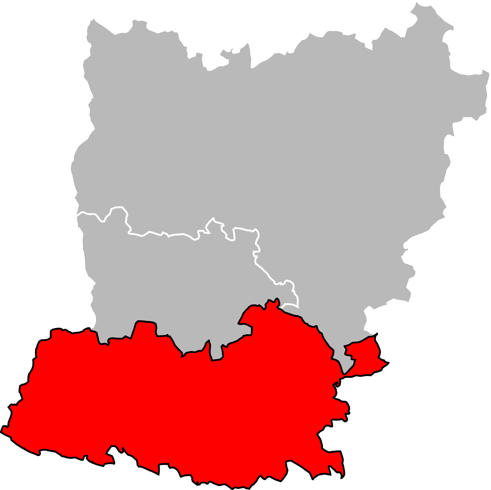
Français : Localisation de l'arrondissement de Château-Gontier dans le département de la Mayenne. Délimitation au 30 mars 2016.
English: Location of the arrondissement of Château-Gontier in Mayenne department. Composition on 30 March 2016.
|
| ⧼wm-license-information-date⧽ | 2017 |
| ⧼wm-license-information-source⧽ | ⧼Wm-license-own-work⧽ |
| ⧼wm-license-information-author⧽ | Pymouss |
| ⧼wm-license-information-permission⧽ (⧼wm-license-information-permission-reusing-text⧽) |
Based on GEOFLA® 2016 v2.2 Communes France Métropolitaine, a work of Institut géographique national, licensed under the Licence Ouverte. |
ترخيص
|
تاريخ الملف
اضغط على زمن/تاريخ لرؤية الملف كما بدا في هذا الزمن.
| زمن/تاريخ | صورة مصغرة | الأبعاد | مستخدم | تعليق | |
|---|---|---|---|---|---|
| حالي | ★ مراجعة معتمدة 22:09، 18 ديسمبر 2023 | | 651 × 649 (36 كيلوبايت) | Pastakhov (نقاش | مساهمات) | Upload https://upload.wikimedia.org/wikipedia/commons/a/a1/Mayenne_-_Ch%C3%A2teau-Gontier_arrondissement_2016.svg |
لا يمكنك استبدال هذا الملف.
وصلات
لا يوجد صفحات تصل لهذه الصورة.