ملف:Maquan River south of Gyagya, Saga.jpg
لا توجد دقة أعلى متوفرة.
Maquan_River_south_of_Gyagya,_Saga.jpg (800 × 533 بكسل حجم الملف: 61 كيلوبايت، نوع MIME: image/jpeg)
وصف قصير
| ⧼wm-license-information-description⧽ |
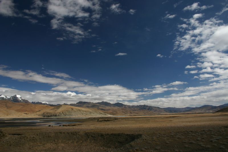
English: Maquan River south of Gyagya, Saga. Photograph location is near the border of Saga County and Gyirong County, both in Shigatse Prefecture.
|
| ⧼wm-license-information-date⧽ | قالب:Taken on |
| ⧼wm-license-information-source⧽ | https://www.flickr.com/photos/martinamor/289287218/ |
| ⧼wm-license-information-author⧽ | Nicolai Bangsgaard |
29°18′45″N 85°14′42″E / 29.31250°N 85.24500°E قالب:Location estimated
- Notes about location estimate
- Photograph mentioned it is south of Saga town
- There is only one non-seasonal river in the vicinity
- Align the peaks with Google Earth ground view / Peakfinder
ترخيص
تاريخ الملف
اضغط على زمن/تاريخ لرؤية الملف كما بدا في هذا الزمن.
| زمن/تاريخ | صورة مصغرة | الأبعاد | مستخدم | تعليق | |
|---|---|---|---|---|---|
| حالي | ★ مراجعة معتمدة 05:11، 9 ديسمبر 2023 | | 800 × 533 (61 كيلوبايت) | Pastakhov (نقاش | مساهمات) | Upload https://upload.wikimedia.org/wikipedia/commons/a/a4/Maquan_River_south_of_Gyagya%2C_Saga.jpg |
لا يمكنك استبدال هذا الملف.
وصلات
لا يوجد صفحات تصل لهذه الصورة.