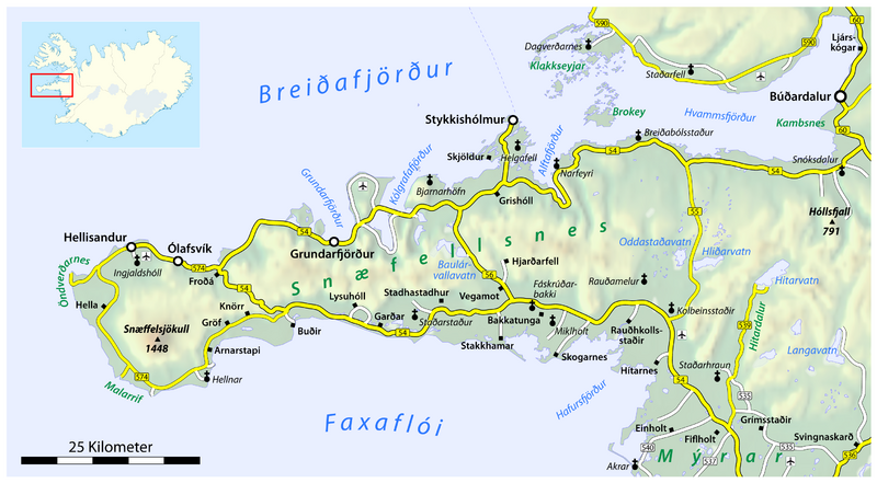
ملف:Map of the Snæfellsnes peninsula.png

حجم هذه المعاينة: 800 × 441 بكسل. البعد الآخر: 2٬871 × 1٬583 بكسل.
الملف الأصلي (2٬871 × 1٬583 بكسل حجم الملف: 1٫29 ميجابايت، نوع MIME: image/png)
| ⧼wm-license-information-description⧽ |
|
||
| ⧼wm-license-information-date⧽ | 2009 | ||
| ⧼wm-license-information-source⧽ | own work, using
|
||
| ⧼wm-license-information-author⧽ | Maximilian Dörrbecker (Chumwa) | ||
| ⧼wm-license-information-permission⧽ (⧼wm-license-information-permission-reusing-text⧽) |
This map was created from OpenStreetMap project data, collected by the community. All OpenStreetMap data and maps are Creative Commons "CC-BY-SA 2.0" licensed
|
تاريخ الملف
اضغط على زمن/تاريخ لرؤية الملف كما بدا في هذا الزمن.
| زمن/تاريخ | صورة مصغرة | الأبعاد | مستخدم | تعليق | |
|---|---|---|---|---|---|
| حالي | ★ مراجعة معتمدة 15:28، 13 نوفمبر 2023 | | 2٬871 × 1٬583 (1٫29 ميجابايت) | Pastakhov (نقاش | مساهمات) | Upload https://upload.wikimedia.org/wikipedia/commons/6/63/Map_of_the_Sn%C3%A6fellsnes_peninsula.png |
لا يمكنك استبدال هذا الملف.
وصلات
لا يوجد صفحات تصل لهذه الصورة.