ملف:Map of country subdivisions (departments).svg

حجم معاينة PNG لذلك الملف ذي الامتداد SVG: 800 × 411 بكسل. البعد الآخر: 2٬560 × 1٬314 بكسل.
الملف الأصلي (ملف SVG، أبعاده 863 × 443 بكسل، حجم الملف: 1٫51 ميجابايت)
وصف قصير
| ⧼wm-license-information-description⧽ |
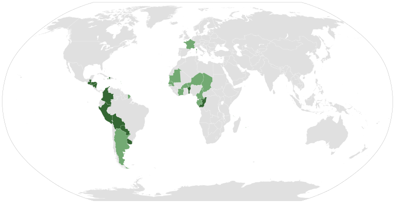
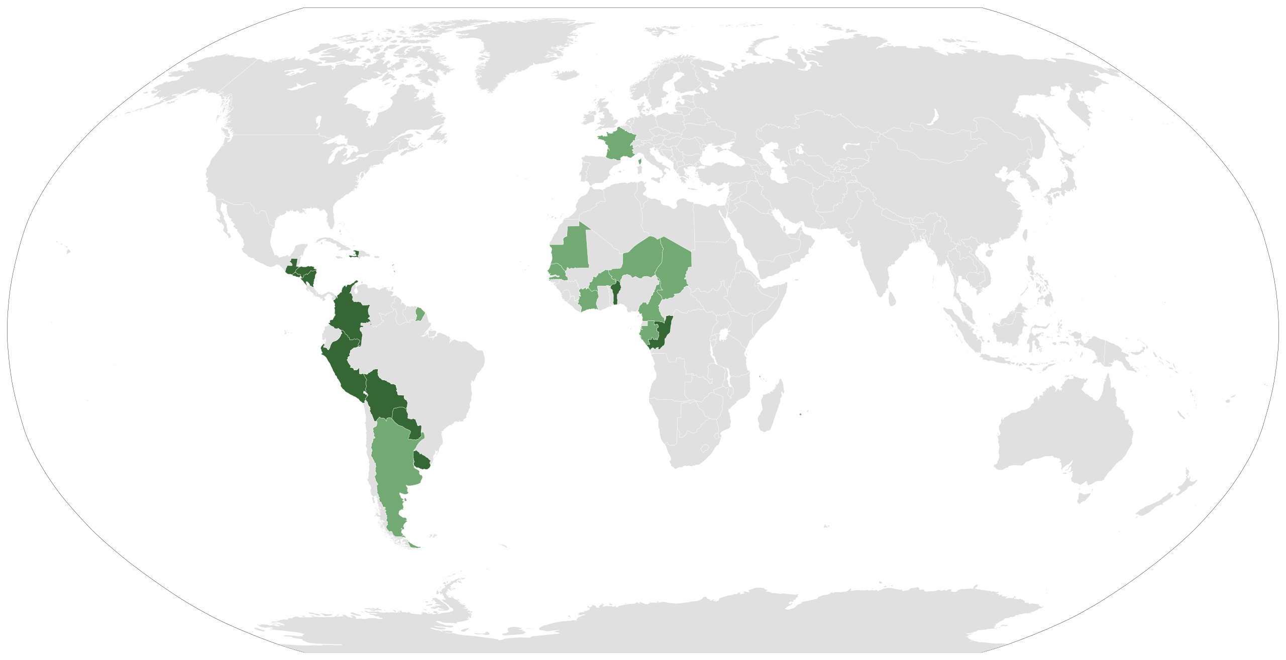
Español: Países del mundo que tienen departamentos como subdivisiones territoriales.
Primer nivel administrativo
Segundo nivel administrativo English: Countries in the world that have departments as administrative subdivisions
First level
Second level |
| ⧼wm-license-information-date⧽ | 2015 |
| ⧼wm-license-information-source⧽ | قالب:Own based File:BlankMap-World6.svg Statoids |
| ⧼wm-license-information-author⧽ | Shadowxfox |
ترخيص
|
تاريخ الملف
اضغط على زمن/تاريخ لرؤية الملف كما بدا في هذا الزمن.
| زمن/تاريخ | صورة مصغرة | الأبعاد | مستخدم | تعليق | |
|---|---|---|---|---|---|
| حالي | ★ مراجعة معتمدة 18:05، 7 أكتوبر 2023 | | 863 × 443 (1٫51 ميجابايت) | Pastakhov (نقاش | مساهمات) | Upload https://upload.wikimedia.org/wikipedia/commons/d/de/Map_of_country_subdivisions_%28departments%29.svg |
لا يمكنك استبدال هذا الملف.
وصلات
لا يوجد صفحات تصل لهذه الصورة.
.svg&oldid=3020970)