ملف:Map of Russia - Zaporozhye.svg

حجم معاينة PNG لذلك الملف ذي الامتداد SVG: 800 × 440 بكسل. البعد الآخر: 2٬560 × 1٬407 بكسل.
الملف الأصلي (ملف SVG، أبعاده 1٬541 × 847 بكسل، حجم الملف: 6٫58 ميجابايت)
وصف قصير
| ⧼wm-license-information-description⧽ |
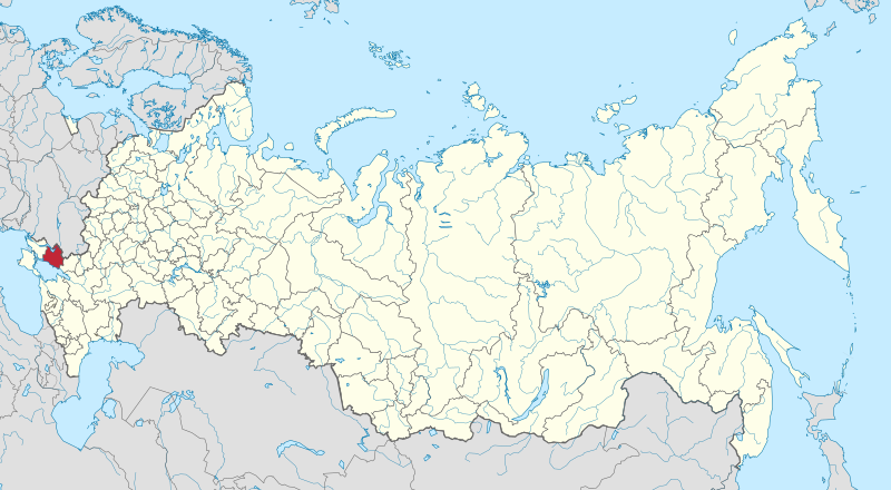
English: A map of Russia (including annexed territories) with Zaporozhye Oblast highlighted.
Français : Une carte de la Russie (et ses territoires annexés) avec l'oblast de Zaporozhye en surbrillance.
|
| ⧼wm-license-information-date⧽ | 2022 |
| ⧼wm-license-information-source⧽ | ⧼Wm-license-own-work⧽ |
| ⧼wm-license-information-author⧽ | Norge17maii |
ترخيص
|
تاريخ الملف
اضغط على زمن/تاريخ لرؤية الملف كما بدا في هذا الزمن.
| زمن/تاريخ | صورة مصغرة | الأبعاد | مستخدم | تعليق | |
|---|---|---|---|---|---|
| حالي | ★ مراجعة معتمدة 20:36، 20 أكتوبر 2023 | | 1٬541 × 847 (6٫58 ميجابايت) | Pastakhov (نقاش | مساهمات) | Upload https://upload.wikimedia.org/wikipedia/commons/5/51/Map_of_Russia_-_Zaporozhye.svg |
لا يمكنك استبدال هذا الملف.
وصلات
لا يوجد صفحات تصل لهذه الصورة.