ملف:Map of Prince Edward Island highlighting Lot 60.png
لا توجد دقة أعلى متوفرة.
Map_of_Prince_Edward_Island_highlighting_Lot_60.png (750 × 450 بكسل حجم الملف: 16 كيلوبايت، نوع MIME: image/png)
وصف قصير
| ⧼wm-license-information-description⧽ |
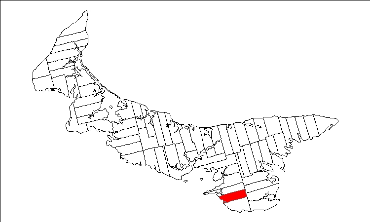
English: Public domain map of Prince Edward Island created by User:Plasma east with data courtesy of Geogratis, modified to show townships. Released under GFDL (self).
|
| ⧼wm-license-information-date⧽ | قالب:Original upload date |
| ⧼wm-license-information-source⧽ | قالب:Transferred from |
| ⧼wm-license-information-author⧽ | قالب:User at project |
ترخيص
قالب:GFDL-user-en-with-disclaimers
قالب:Original upload log
| زمن/تاريخ | الأبعاد | مستخدم | تعليق |
|---|---|---|---|
| 2005-11-27 00:19 | 750×450× (16858 bytes) | Plasma east | Public domain map of Prince Edward Island created by [[User:Plasma east]] with data courtesy of [http://geogratis.cgdi.gc.ca Geogratis], modified to show townships. Released under GFDL (self). |
تاريخ الملف
اضغط على زمن/تاريخ لرؤية الملف كما بدا في هذا الزمن.
| زمن/تاريخ | صورة مصغرة | الأبعاد | مستخدم | تعليق | |
|---|---|---|---|---|---|
| حالي | ★ مراجعة معتمدة 15:43، 17 نوفمبر 2023 | | 750 × 450 (16 كيلوبايت) | Pastakhov (نقاش | مساهمات) | Upload https://upload.wikimedia.org/wikipedia/commons/0/07/Map_of_Prince_Edward_Island_highlighting_Lot_60.png |
لا يمكنك استبدال هذا الملف.
وصلات
لا يوجد صفحات تصل لهذه الصورة.