ملف:Map of Connecticut highlighting Lower Connecticut River Valley Planning Region.svg

حجم معاينة PNG لذلك الملف ذي الامتداد SVG: 800 × 583 بكسل. البعد الآخر: 2٬560 × 1٬866 بكسل.
الملف الأصلي (ملف SVG، أبعاده 800 × 583 بكسل، حجم الملف: 515 كيلوبايت)
وصف قصير
| ⧼wm-license-information-description⧽ |
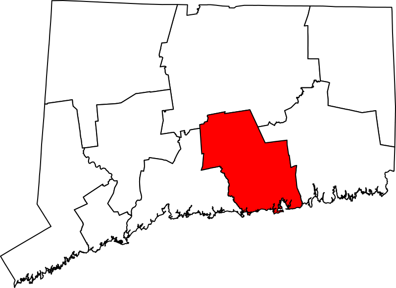
English: Map of Connecticut highlighting the Lower Connecticut River Valley Planning Region. Derived from File:Connecticut planning region map, cb 500k.svg.
|
| ⧼wm-license-information-date⧽ | 2023 |
| ⧼wm-license-information-source⧽ | ⧼Wm-license-own-work⧽ |
| ⧼wm-license-information-author⧽ | Elli |
ترخيص
تاريخ الملف
اضغط على زمن/تاريخ لرؤية الملف كما بدا في هذا الزمن.
| زمن/تاريخ | صورة مصغرة | الأبعاد | مستخدم | تعليق | |
|---|---|---|---|---|---|
| حالي | ★ مراجعة معتمدة 03:49، 12 نوفمبر 2023 | | 800 × 583 (515 كيلوبايت) | Pastakhov (نقاش | مساهمات) | Upload https://upload.wikimedia.org/wikipedia/commons/d/d0/Map_of_Connecticut_highlighting_Lower_Connecticut_River_Valley_Planning_Region.svg |
لا يمكنك استبدال هذا الملف.
وصلات
لا يوجد صفحات تصل لهذه الصورة.