ملف:Map of Clark, Mercer County, Pennsylvania Highlighted.png
حجم هذه المعاينة: 607 × 599 بكسل. البعد الآخر: 1٬443 × 1٬425 بكسل.
الملف الأصلي (1٬443 × 1٬425 بكسل حجم الملف: 94 كيلوبايت، نوع MIME: image/png)
وصف قصير
| ⧼wm-license-information-description⧽ |
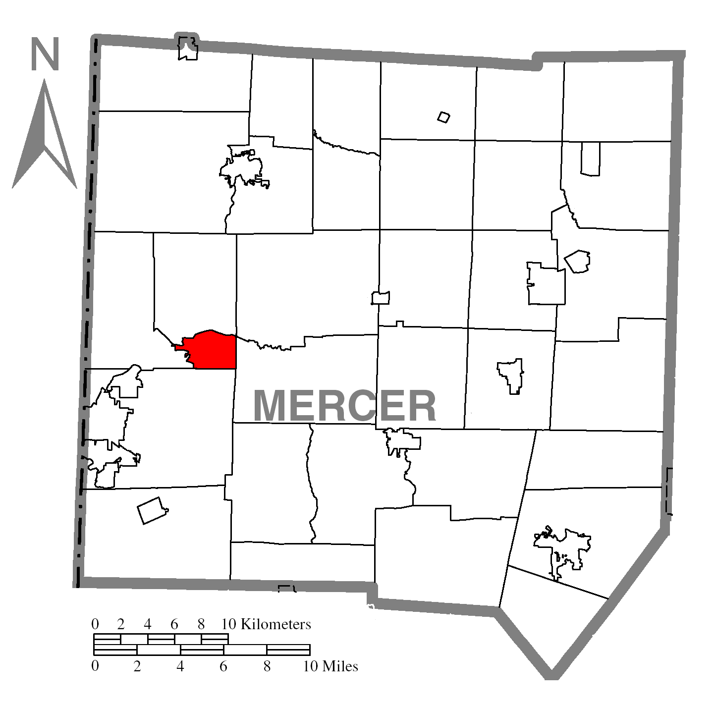
Map of Mercer County higlighting Clark. |
| ⧼wm-license-information-date⧽ | 2008 |
| ⧼wm-license-information-source⧽ | Source image taken from the United States Census Bureau's website pa_cosub.pdf. |
| ⧼wm-license-information-author⧽ | User:Dtbohrer |
| ⧼wm-license-information-other-versions⧽ |
Image:Map of Mercer County, Pennsylvania No Text.png - Version without text |
ترخيص
تاريخ الملف
اضغط على زمن/تاريخ لرؤية الملف كما بدا في هذا الزمن.
| زمن/تاريخ | صورة مصغرة | الأبعاد | مستخدم | تعليق | |
|---|---|---|---|---|---|
| حالي | ★ مراجعة معتمدة 01:10، 2 نوفمبر 2023 | | 1٬443 × 1٬425 (94 كيلوبايت) | Pastakhov (نقاش | مساهمات) | Upload https://upload.wikimedia.org/wikipedia/commons/4/44/Map_of_Clark%2C_Mercer_County%2C_Pennsylvania_Highlighted.png |
لا يمكنك استبدال هذا الملف.
وصلات
لا يوجد صفحات تصل لهذه الصورة.