ملف:Map NL - Buren - Zandberg.png
لا توجد دقة أعلى متوفرة.
Map_NL_-_Buren_-_Zandberg.png (800 × 600 بكسل حجم الملف: 281 كيلوبايت، نوع MIME: image/png)
وصف قصير
| ⧼wm-license-information-description⧽ |
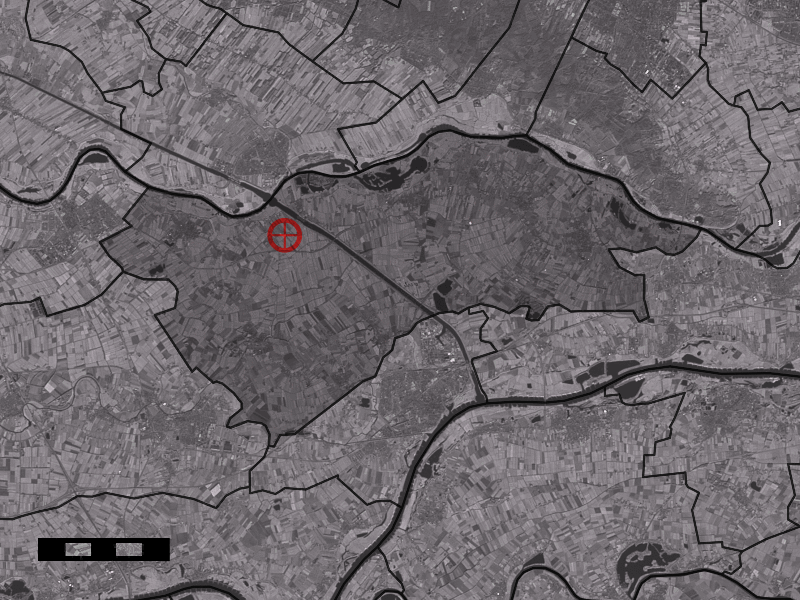
English: Map of Zandberg, municipality of Buren, the Netherlands
|
| ⧼wm-license-information-date⧽ | between 2001 and 2006 |
| ⧼wm-license-information-source⧽ | Centraal Bureau voor de Statistiek and Satellite image: Landsat 7 (public domain). |
| ⧼wm-license-information-author⧽ | Centraal Bureau voor de Statistiek |
ترخيص
تاريخ الملف
اضغط على زمن/تاريخ لرؤية الملف كما بدا في هذا الزمن.
| زمن/تاريخ | صورة مصغرة | الأبعاد | مستخدم | تعليق | |
|---|---|---|---|---|---|
| حالي | ★ مراجعة معتمدة 09:33، 9 ديسمبر 2023 | | 800 × 600 (281 كيلوبايت) | Pastakhov (نقاش | مساهمات) | Upload https://upload.wikimedia.org/wikipedia/commons/3/38/Map_NL_-_Buren_-_Zandberg.png |
لا يمكنك استبدال هذا الملف.
وصلات
لا يوجد صفحات تصل لهذه الصورة.