ملف:Map Duchy of Courland and Semigallia 1918.png
حجم هذه المعاينة: 573 × 600 بكسل. البعد الآخر: 1٬239 × 1٬297 بكسل.
الملف الأصلي (1٬239 × 1٬297 بكسل حجم الملف: 213 كيلوبايت، نوع MIME: image/png)
وصف قصير
| ⧼wm-license-information-description⧽ |
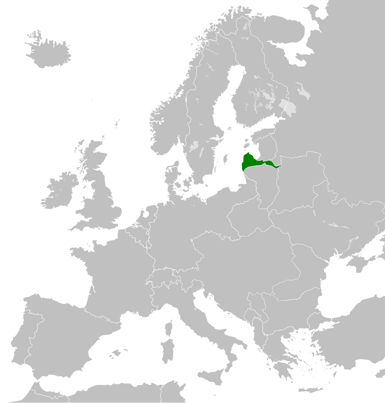
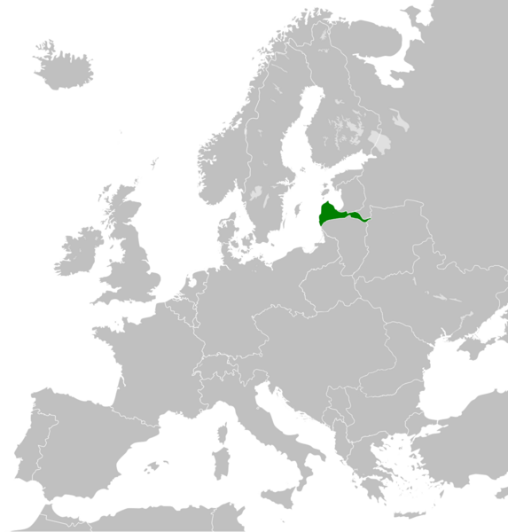
English: The Duchy of Courland and Semigallia 1918 was a short-lived state in 1918. It was a cient state of the German Empire after the signing of the treaty of Brest-Litovsk.
|
| ⧼wm-license-information-date⧽ | 2020 |
| ⧼wm-license-information-source⧽ | ⧼Wm-license-own-work⧽ |
| ⧼wm-license-information-author⧽ | GalaxMaps |
ترخيص
|
تاريخ الملف
اضغط على زمن/تاريخ لرؤية الملف كما بدا في هذا الزمن.
| زمن/تاريخ | صورة مصغرة | الأبعاد | مستخدم | تعليق | |
|---|---|---|---|---|---|
| حالي | ★ مراجعة معتمدة 12:40، 25 أكتوبر 2023 | | 1٬239 × 1٬297 (213 كيلوبايت) | Pastakhov (نقاش | مساهمات) | Upload https://upload.wikimedia.org/wikipedia/commons/d/d6/Map_Duchy_of_Courland_and_Semigallia_1918.png |
لا يمكنك استبدال هذا الملف.
وصلات
لا يوجد صفحات تصل لهذه الصورة.