ملف:Manistee County Michigan Incorporated and Unincorporated areas Manistee Highlighted.svg

حجم معاينة PNG لذلك الملف ذي الامتداد SVG: 800 × 550 بكسل. البعد الآخر: 2٬560 × 1٬760 بكسل.
الملف الأصلي (ملف SVG، أبعاده 800 × 550 بكسل، حجم الملف: 92 كيلوبايت)
| ⧼wm-license-information-description⧽ |
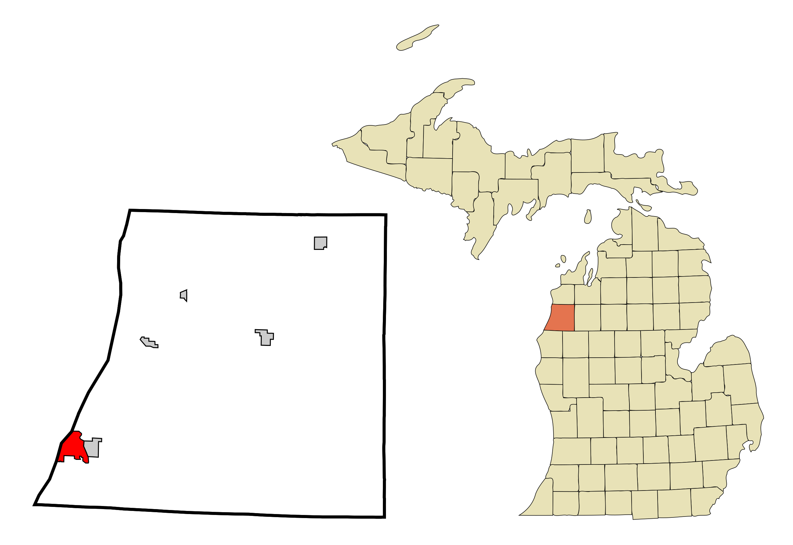
Locator map of Manistee (in red), the Manistee County seat.
|
|||
| ⧼wm-license-information-date⧽ | 2007 | |||
| ⧼wm-license-information-source⧽ | My own work, based on public domain information. Based on similar map concepts by Ixnayonthetimmay | |||
| ⧼wm-license-information-author⧽ | Arkyan | |||
| ⧼wm-license-information-permission⧽ (⧼wm-license-information-permission-reusing-text⧽) |
|

تاريخ الملف
اضغط على زمن/تاريخ لرؤية الملف كما بدا في هذا الزمن.
| زمن/تاريخ | صورة مصغرة | الأبعاد | مستخدم | تعليق | |
|---|---|---|---|---|---|
| حالي | ★ مراجعة معتمدة 09:47، 6 أكتوبر 2023 | | 800 × 550 (92 كيلوبايت) | Pastakhov (نقاش | مساهمات) | Upload https://upload.wikimedia.org/wikipedia/commons/7/71/Manistee_County_Michigan_Incorporated_and_Unincorporated_areas_Manistee_Highlighted.svg |
لا يمكنك استبدال هذا الملف.
وصلات
لا يوجد صفحات تصل لهذه الصورة.