ملف:MI 5th congressional district (106th Congress).PNG
لا توجد دقة أعلى متوفرة.
MI_5th_congressional_district_(106th_Congress).PNG (575 × 425 بكسل حجم الملف: 39 كيلوبايت، نوع MIME: image/png)
| ⧼wm-license-information-description⧽ |
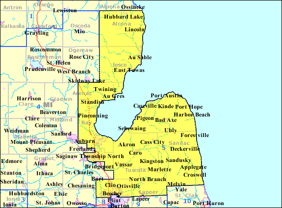
English: Map of en:Michigan's 5th congressional district for the en:106th United States Congress, illustrating boundaries prior to redistricting in 2002.
|
| ⧼wm-license-information-date⧽ | |
| ⧼wm-license-information-source⧽ | Source: U.S. Census Bureau American Factfinder [1] |
| ⧼wm-license-information-author⧽ |
ترخيص
قالب:Original upload log
قالب:Original description page
- 2007-07-22 15:51 Bkonrad 575×425×??? (39916 bytes) Map of [[Michigan's 5th congressional district]] for the [[106th United States Congress]], illustrating boundaries prior to redistricting in 2002. Source: U.S. Census Bureau American Factfinder [http://factfinder.census.gov/servlet/MapItDrawServlet?geo_i
تاريخ الملف
اضغط على زمن/تاريخ لرؤية الملف كما بدا في هذا الزمن.
| زمن/تاريخ | صورة مصغرة | الأبعاد | مستخدم | تعليق | |
|---|---|---|---|---|---|
| حالي | ★ مراجعة معتمدة 17:53، 18 ديسمبر 2023 | | 575 × 425 (39 كيلوبايت) | Pastakhov (نقاش | مساهمات) | Upload https://upload.wikimedia.org/wikipedia/commons/8/8c/MI_5th_congressional_district_%28106th_Congress%29.PNG |
لا يمكنك استبدال هذا الملف.
وصلات
لا يوجد صفحات تصل لهذه الصورة.
.PNG&oldid=3808541)