ملف:Locator map of the canton de Palluau (in Vendée, 1973-2015).png
حجم هذه المعاينة: 800 × 525 بكسل. البعد الآخر: 1٬600 × 1٬050 بكسل.
الملف الأصلي (1٬600 × 1٬050 بكسل حجم الملف: 178 كيلوبايت، نوع MIME: image/png)
وصف قصير
| ⧼wm-license-information-description⧽ |
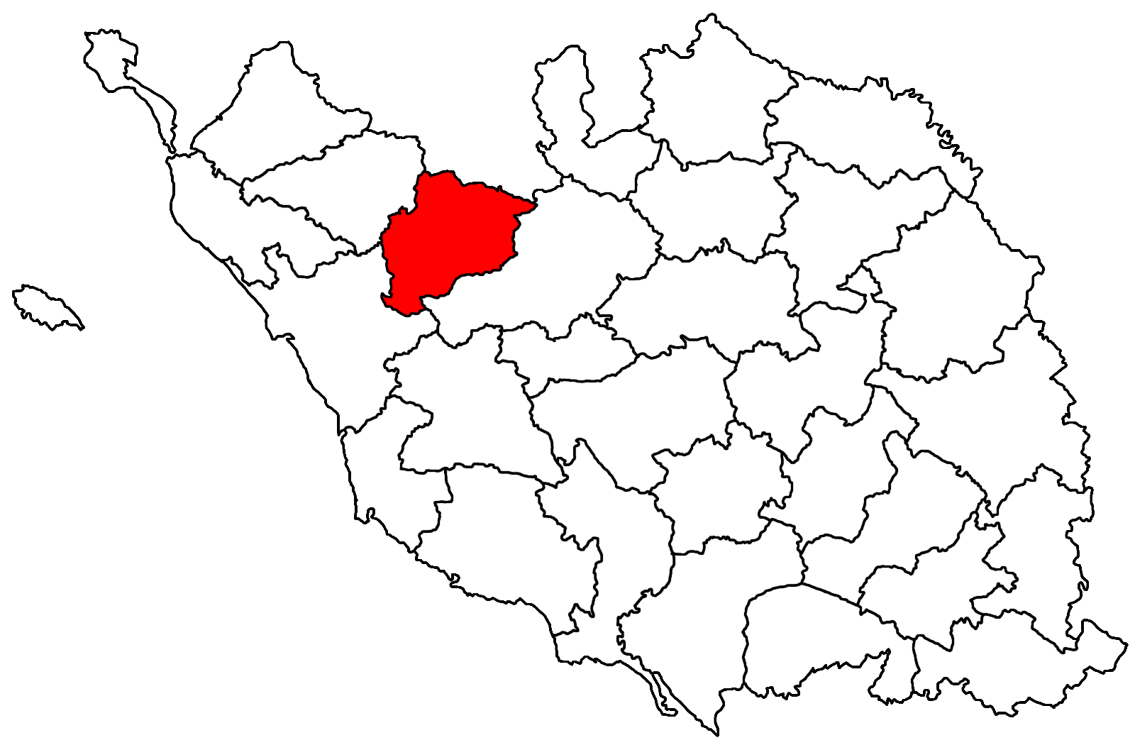
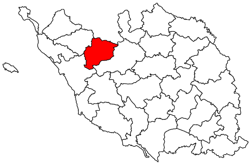
Français : Le canton de Palluau dans le découpage cantonal vendéen de 1973.
|
|||
| ⧼wm-license-information-date⧽ | 2014 | |||
| ⧼wm-license-information-source⧽ | ⧼Wm-license-own-work⧽ | |||
| ⧼wm-license-information-author⧽ | مستخدم:Éduarel/Crédit | |||
| ⧼wm-license-information-permission⧽ (⧼wm-license-information-permission-reusing-text⧽) |
|
تاريخ الملف
اضغط على زمن/تاريخ لرؤية الملف كما بدا في هذا الزمن.
| زمن/تاريخ | صورة مصغرة | الأبعاد | مستخدم | تعليق | |
|---|---|---|---|---|---|
| حالي | ★ مراجعة معتمدة 21:00، 23 نوفمبر 2023 | | 1٬600 × 1٬050 (178 كيلوبايت) | Pastakhov (نقاش | مساهمات) | Upload https://upload.wikimedia.org/wikipedia/commons/a/a3/Locator_map_of_the_canton_de_Palluau_%28in_Vend%C3%A9e%2C_1973-2015%29.png |
لا يمكنك استبدال هذا الملف.
وصلات
لا يوجد صفحات تصل لهذه الصورة.
.png&oldid=3583987)