ملف:Locator map of the Hamptons.png
حجم هذه المعاينة: 800 × 400 بكسل. البعد الآخر: 2٬822 × 1٬411 بكسل.
الملف الأصلي (2٬822 × 1٬411 بكسل حجم الملف: 10٫7 ميجابايت، نوع MIME: image/png)
وصف قصير
| ⧼wm-license-information-description⧽ |
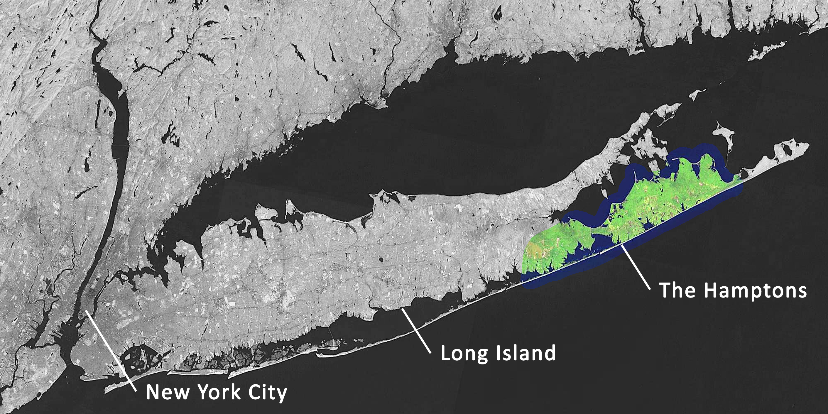
English: Locator map of the Hamptons on Long Island. (Dutch)
|
| ⧼wm-license-information-date⧽ | 2012 |
| ⧼wm-license-information-source⧽ | ⧼Wm-license-own-work⧽ |
| ⧼wm-license-information-author⧽ | DimiTalen |
Based on File:Long Island Landsat Mosaic.jpg.
ترخيص
|
تاريخ الملف
اضغط على زمن/تاريخ لرؤية الملف كما بدا في هذا الزمن.
| زمن/تاريخ | صورة مصغرة | الأبعاد | مستخدم | تعليق | |
|---|---|---|---|---|---|
| حالي | ★ مراجعة معتمدة 12:32، 18 نوفمبر 2023 | | 2٬822 × 1٬411 (10٫7 ميجابايت) | Pastakhov (نقاش | مساهمات) | Upload https://upload.wikimedia.org/wikipedia/commons/6/65/Locator_map_of_the_Hamptons.png |
لا يمكنك استبدال هذا الملف.
وصلات
لا يوجد صفحات تصل لهذه الصورة.