ملف:Locator map of Windermere TLC electorate 2017.svg

حجم معاينة PNG لذلك الملف ذي الامتداد SVG: 488 × 599 بكسل. البعد الآخر: 1٬668 × 2٬048 بكسل.
الملف الأصلي (ملف SVG، أبعاده 831 × 1٬020 بكسل، حجم الملف: 184 كيلوبايت)
وصف قصير
| ⧼wm-license-information-description⧽ |
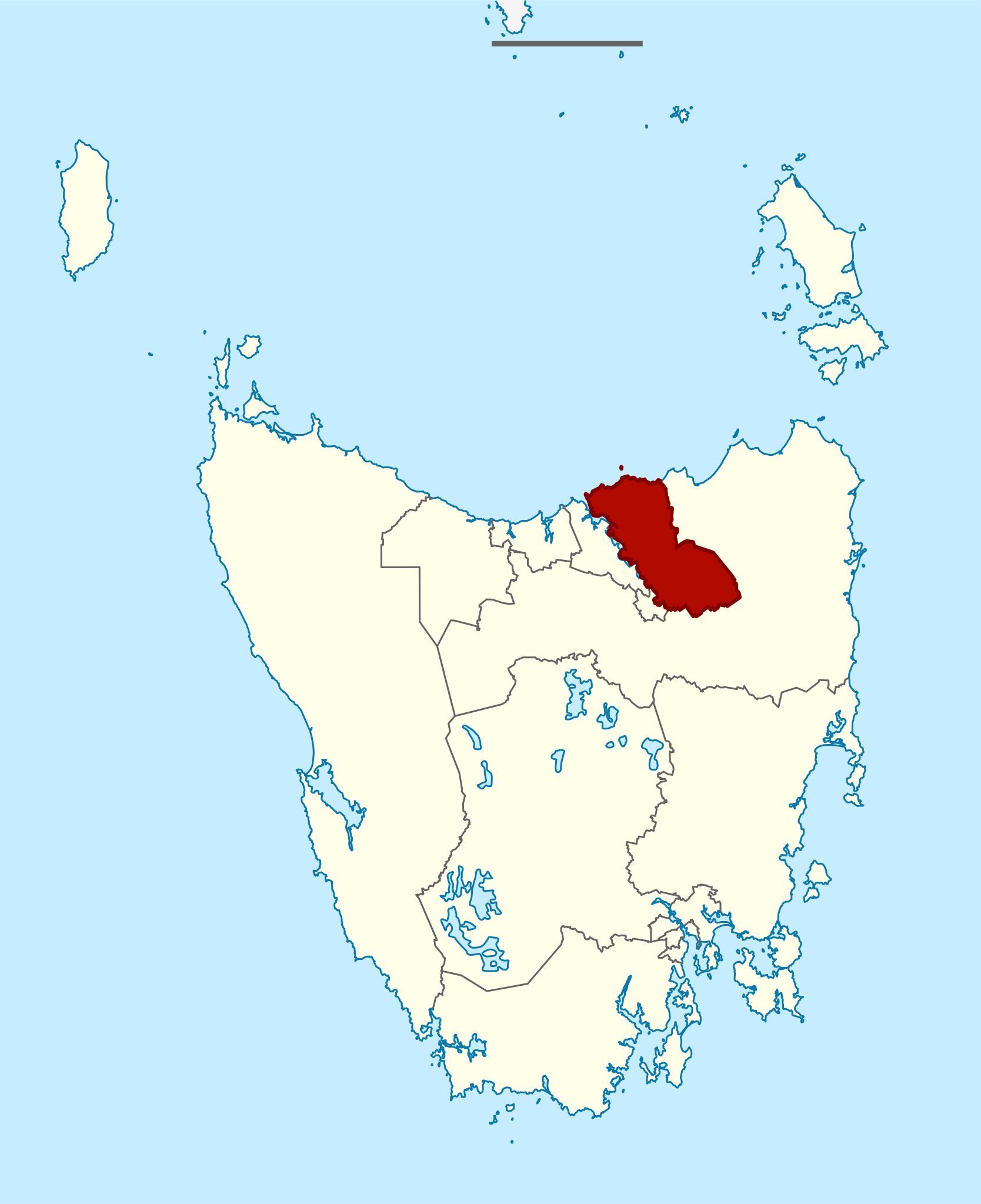
English: A map highlighting the Windermere electorate of the Tasmanian Legislative Council.
Data from Legislative Council Divisions dataset (2016-17 redistribution) from www.theLIST.tas.gov.au ©State of Tasmania (CC BY 3.0 AU). Map of Tasmania is a derivative of File:Australia Tasmania location map blank.svg. Created using QGIS and Inkscape.
|
||
| ⧼wm-license-information-date⧽ | 2017 | ||
| ⧼wm-license-information-source⧽ | ⧼Wm-license-own-work⧽ | ||
| ⧼wm-license-information-author⧽ | NeoGeneric |
ترخيص
|
تاريخ الملف
اضغط على زمن/تاريخ لرؤية الملف كما بدا في هذا الزمن.
| زمن/تاريخ | صورة مصغرة | الأبعاد | مستخدم | تعليق | |
|---|---|---|---|---|---|
| حالي | ★ مراجعة معتمدة 19:05، 11 نوفمبر 2023 | | 831 × 1٬020 (184 كيلوبايت) | Pastakhov (نقاش | مساهمات) | Upload https://upload.wikimedia.org/wikipedia/commons/2/28/Locator_map_of_Windermere_TLC_electorate_2017.svg |
لا يمكنك استبدال هذا الملف.
وصلات
لا يوجد صفحات تصل لهذه الصورة.